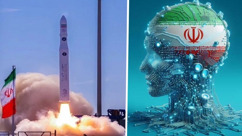
Development of space technologies with AI in Iran
The Islamic Republic of Iran, during the recent decades, has made broad efforts to develop space technologies and remote measurement satellites, and has gained notable achievements in this area. According to

Development of space technologies with AI in Iran
The Islamic Republic of Iran, during the recent decades, has made broad efforts to develop space technologies and remote measurement satellites, and has gained notable achievements in this area. According to Pars Today, Ahmad Soleimani, expert of space domain and space-based economy of Iran, in an interview with Tasnim news agency, reiterated, "One of the most important issues which has drawn the attention of many experts and policy-makers, for the recent decades, is the serious application of artificial intelligence (AI) in different Iranian industries to the extent that the Leader of the Islamic Revolution, in a recent meeting with young elites, considered futurism in the field among important priorities of the country."
Soleimani made it clear, "Artificial Intelligence has the potential of revolutionizing space industries and can play a role in a wide range of fields including management and analysis of voluminous satellite data, exact and automatic control of satellites, optimal planning of space missions, prediction and reduction of launching risks, imaging and image-making in measurement satellites and development of automatic robots."
Despite international restrictions and sanctions, the Islamic Republic of Iran has managed to gain huge achievements in the field of development of remote measurement satellites and research satellites. The research satellite Chamran1, which has been designed and made by the group of Space Electronic Industries of Iran (SA-Iran) with the collaboration of the Airspace Research Center and private knowledge-based companies, was launched by the satellite-carrier Qaem100 on September 14, 2024 in the 550 kilometer orbit successfully. This move was widely covered by foreign media.
Khayyam is, also, among the newest Iranian satellites with the capability of high-precision imaging. This satellite enables Iran to enjoy the remote measurement data to manage natural and agricultural resources and control environmental changes.
Earlier, Navid satellite was launched in 2011 which, making use of native technologies, provides important data of climatic conditions and flora in Iran. Zafar satellite, too, enjoys the capability of remote measurement in the fields of agriculture and environment and it can play an effective role in monitoring natural calamities and environmental situation in Iran.
Moreover, Pars1 and Pars2 satellites are among the developing projects in Iran which are capable of imaging, collection of multi-faceted data and they can play a significant role in management of natural resources, environment monitoring and assisting agricultural economy in Iran.
Thanks to higher resolution and more imaging precision, these satellites can help Iran act self-sufficiently in the management of resources and monitoring of environmental and climatic changes.
Accordingly, Ahmad Soleimani, pointing to the wide range of using AI in Iran's space industry, reiterated, "AI can remarkably increase the speed and precision of space technologies development."

Write your comment.