Khorramabad
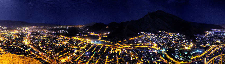
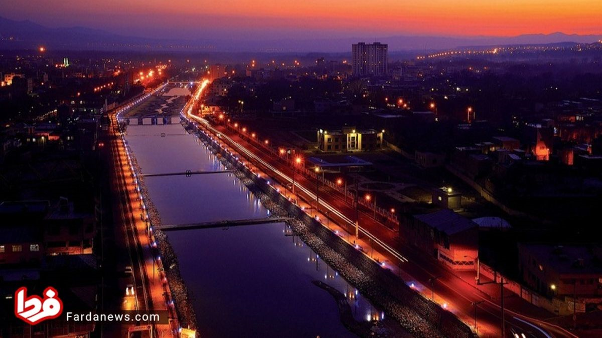
Perhaps the best possible description of the beautiful city of Khorramabad is this phrase: a pearl surrounded by the Zagros mountains.
Geography and Economy of Khorramabad
Khorramabad is the capital of Lorestan province. The height of this city is about 1147 meters above sea level. Khorramabad’s location in the valleys surrounded by Zagros mountains has given it an indescribable beauty. This city is neighbored by Selseleh Cunty in the north, Borujard County in the northeast, Durood and Aligudarz counties in the east, Andimshek County in the west, and Dowreh and Poldokhtar counties in the west. Khorramabad is very rainy in winter and spring. Statistically, with 509 mm of annual rainfall, this city is considered the sixth rainiest provincial center among the provincial centers of Iran. The population of Khorramabad is nearly 400,000, and agriculture, animal husbandry, horticulture, and handicrafts are among its main occupations. The industries in this city include leather, agroindutry, generator production, cement, steel, and power plant.
History of Khorramabad
Historically, Khorramabad is one of the oldest human settlements in the region. It is said that this city was one of the main centers of presence of Kasi people. This people rose from the Zagros mountains and ruled Babylon between 1600 and 1200 BC. During the era of Elamite rule, which lasted until 539 BC, Khorramabad was an important and prosperous city and was called “Khaydalu”. This city was captured and destroyed by Ashurbanipal around 646 BC. Later, in the Sassanid era (224 to 651 AD) a city was built on the ruins of Khaydalu by order of Shapur II (309 to 379 AD), and called “Shapur Khast”. The city built by Shapur II remained intact until the Mongol invasion, but it was destroyed by the Mongols in 1219 AD. Probably, during this period, the residents of Shapur Khast moved to the western part of Falak-ol-Aflak to benefit from more abundant water resources and to find more security under the shelter of its mountains, but in any case, the primary core of the formation of today’s Khorramabad should be sought in Khaydalu.
Historical and Natural Attractions of Khorramabad
Nearly one million and 200 thousand hectares of the area of Lorestan province are covered with forest. Meanwhile, Khorramabad has more than 500 thousand hectares of pastures, of which more than 400 thousand hectares are forest pastures. Oak is the main plant species in Khorramabad. A river called “Khorramrud” flows through the city. Several peaks, including Makhmalkuh in the north with a height of 1900 meters, Sefidkuh in the west with the highest height of 3080 meters, and Madbakuh in the east, which is also called “Baam-e Lorestan”, are the important heights of Khorramabad. A forest park has been built on the slopes of Makhmalkuh, which along with Shurab Forest Park (in the south of the city) are known as the natural sightseeing spots of Khorramabad.
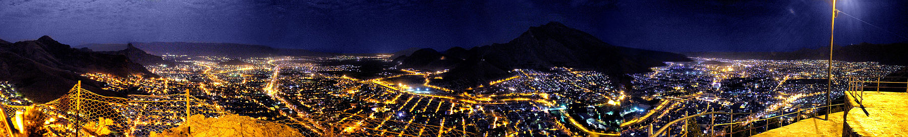
Panoramic view of Lorestan from Madbehkoh (Roof of Lorestan)
Keeyow Lake with an area of approximately seven hectares and a depth of three to seven meters is considered one of the natural inner-city lakes of Iran. In recent years, with the creation of an amusement park and the improvement of the scenery around Keeyow Lake, this part of Khorramabad has become one of the popular resorts of the city.
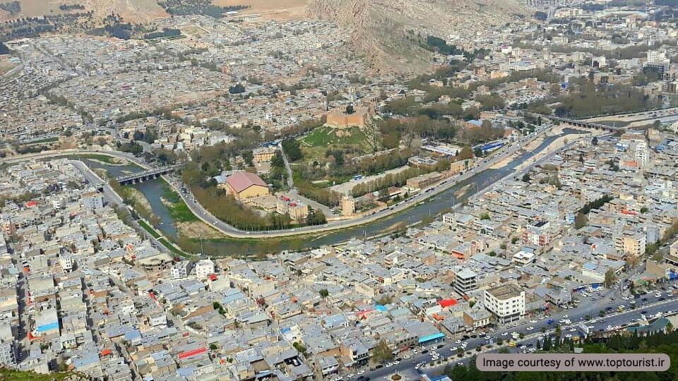
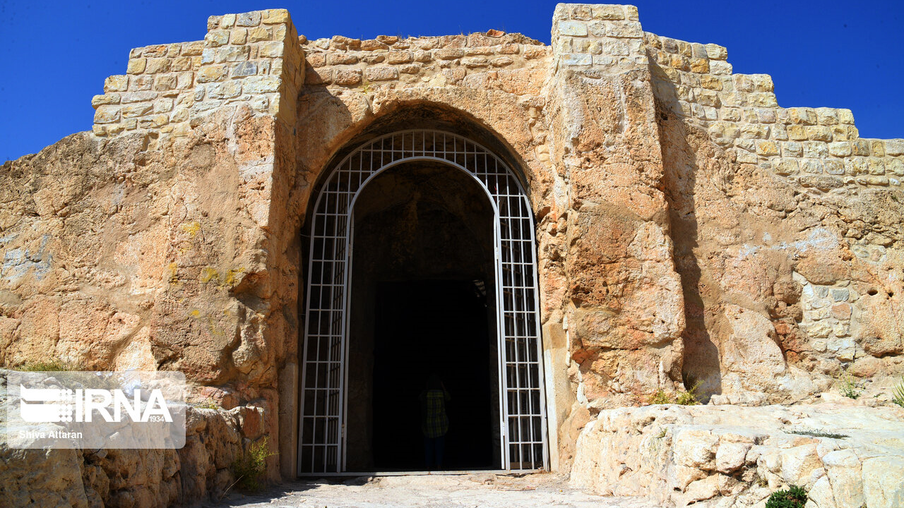
In terms of historical attractions, Khorramabad is among the leading cities of Iran. Perhaps, Falak-ol-Aflak Castle or Shapur Khast Fortress can be named as the most famous attraction of the city. The fortress is built on a hill overlooking the city and its construction is attributed to the Sassanid era. The strategic location of the fortress has caused local governments to pay special attention to it throughout history, to the extent that it has been the seat of various rulers for many years. Presently, an anthropological museum has been founded inside this fortress.
Falak-ol-Aflak Castle

Shapuri Bridge or Broken Bridge is another important historical monument of Khorramabad, which according to experts is left from the Sassanid era. This bridge is located in the south of Falak-ol-Aflak Castle. Throughout history, this bridge was the most important communication route between Khorramabad and the East. The length of the bridge is 312 meters and its height is nearly 10 meters.
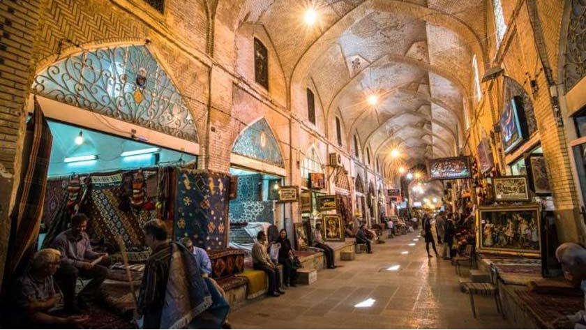
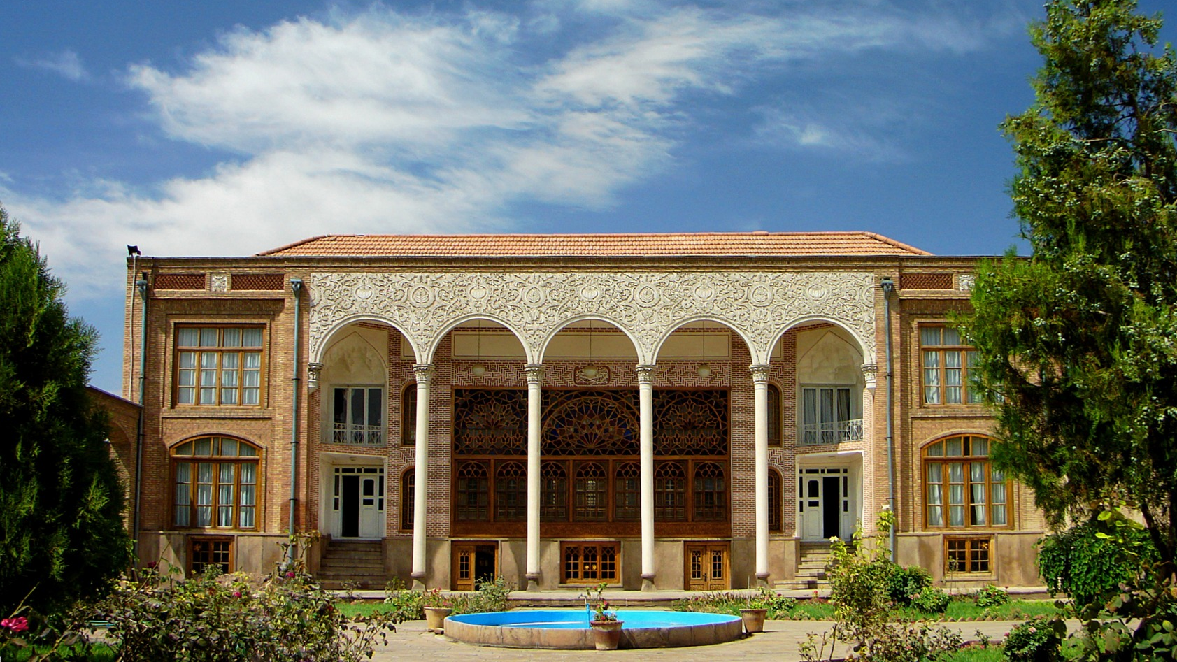
The bridge had 28 openings, of which only five remain today. Brick minaret, Gap Bathhouse, Akhond Abu House, Safavid Bridge, and a stone whirlpool are other prominent touristic attractions of Khorramabad. The existence of these works together has made Khorramabad to be considered as one of the most attractive tourist destinations in Iran.
| Name | Khorramabad |
| Country | Iran |
| State | Lorestan |
| City | Khorramabad |
| Type | Historical,Natural |
| Registration | National |


_crop_2.jpg)


Choose blindless
Red blindless Green blindless Blue blindless Red hard to see Green hard to see Blue hard to see Monochrome Special MonochromeFont size change:
Change word spacing:
Change line height:
Change mouse type: