Pasargad County
Pasargad county of the Fars province of Iran has an ancient history and houses amazing historical sites and monuments that are yet to be archeologically explored.
About the Pasargad County
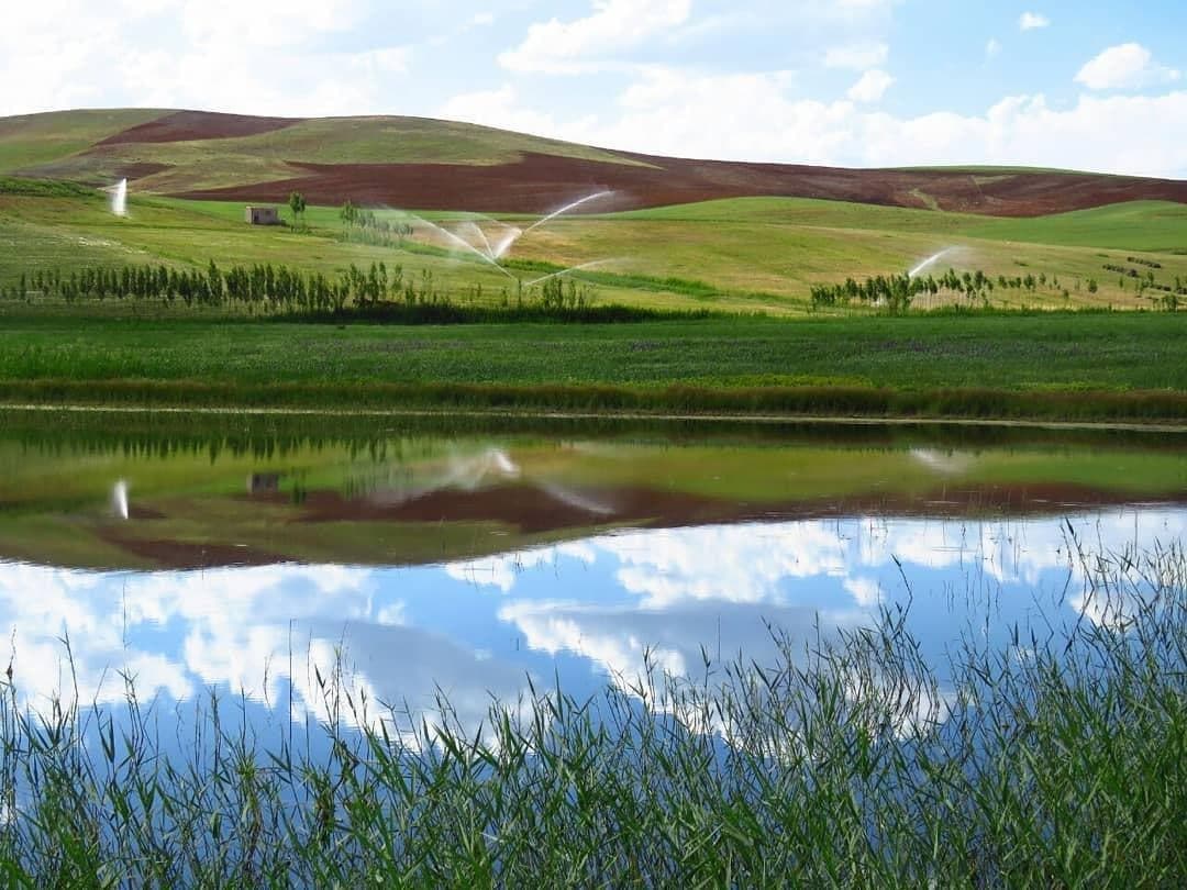
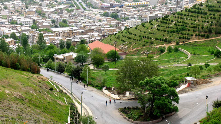
This county is located between two mountain ranges branching from Zagros and is considered a rather cold region in Fars province. The height of this city is about 1700 meters above sea level. The average rainfall in this area is about 400 mm per year. Pulvar (Balaghi) River is the only permanent river in this region that joins the Kor River in Marvdasht and flows into Bakhtegan Lake.
The geographical conditions of this county have made it very suitable for agricultural activities. The grapes grown in this area are of high quality. Most of the 35 thousand population of this county are from the Basseri tribe, which is considered one of the noblest tribes of the Fars, and have their own special customs and traditions.
Historical Background of Pasargad County
Pasargad County, the capital of which is the city of Sa’adat Shahr, is rather a new county in the administrative divisions of Iran. It was founded in 2005. However, the history of this region goes back to the prehistoric era. In the clay tablets of Persepolis, this area is referred to as “Kaminush”. According to the travelogue of “Ibn Balkhi”, which he wrote about a thousand years ago, the name of this city was later on changed to “Kameh” and then “Kamin”, which is still used by some locals.
The archeological excavations carried out in Tang-e Bolaghi and the discovery of a royal palace there show that today’s Sa’adat Shahr had gradually moved from Tang-e Bolaghi to its current location.
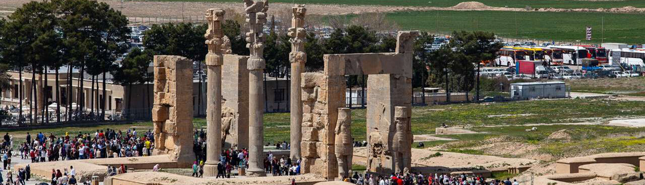
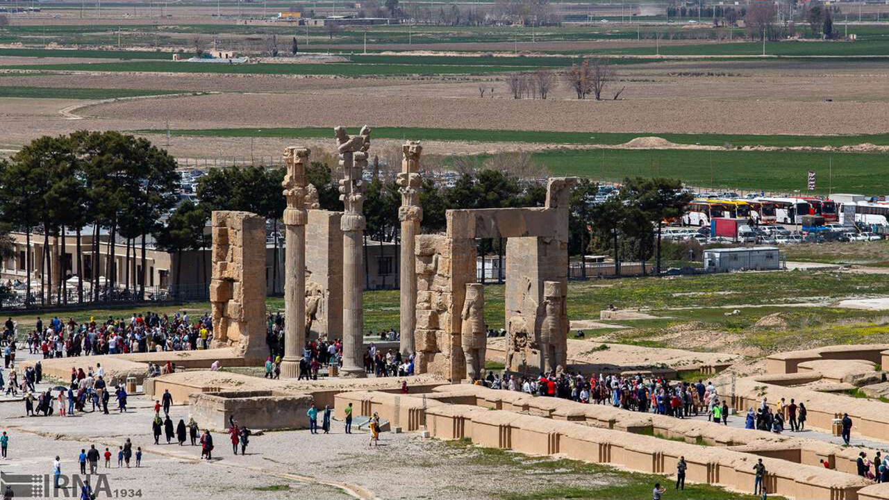
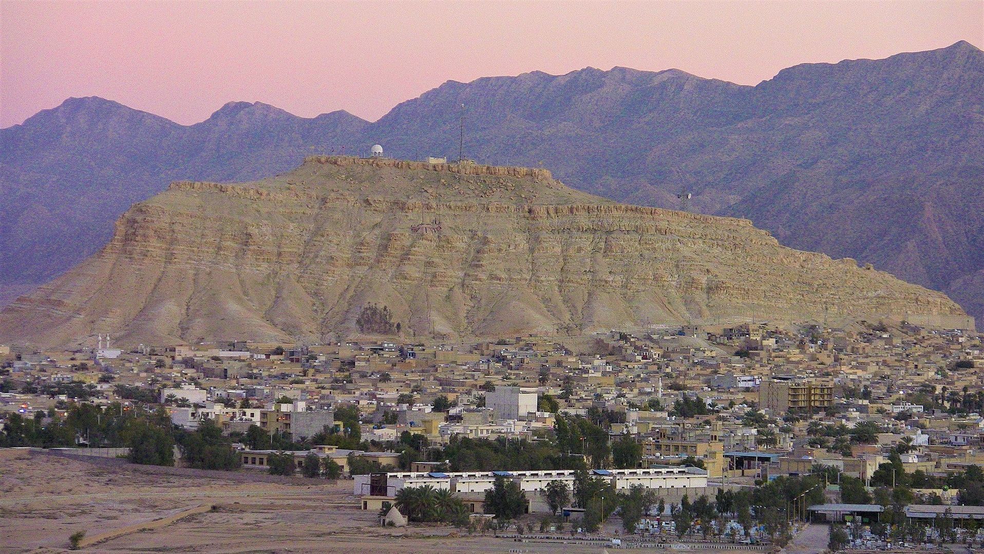
Pasargad County houses many historical monuments from the Achaemenid era (550 to 330 BC), the most important of which is the Pasargad complex. Since Sa’adat Shahr was located on the ancient communication route between Pasargad and Parse, it was called the key to conquering the gates of Pars. The existence of several ancient hills on which no archeological surveys have so far taken place has made this area one of the most important areas for exploration. However, broken pottery works and carved stones, which can be easily obtained in some areas, show that it was an economically prosperous area for a long time.
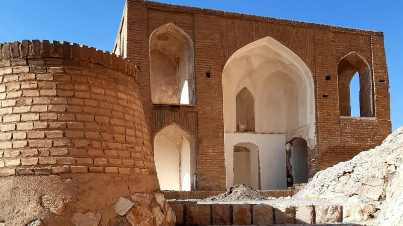
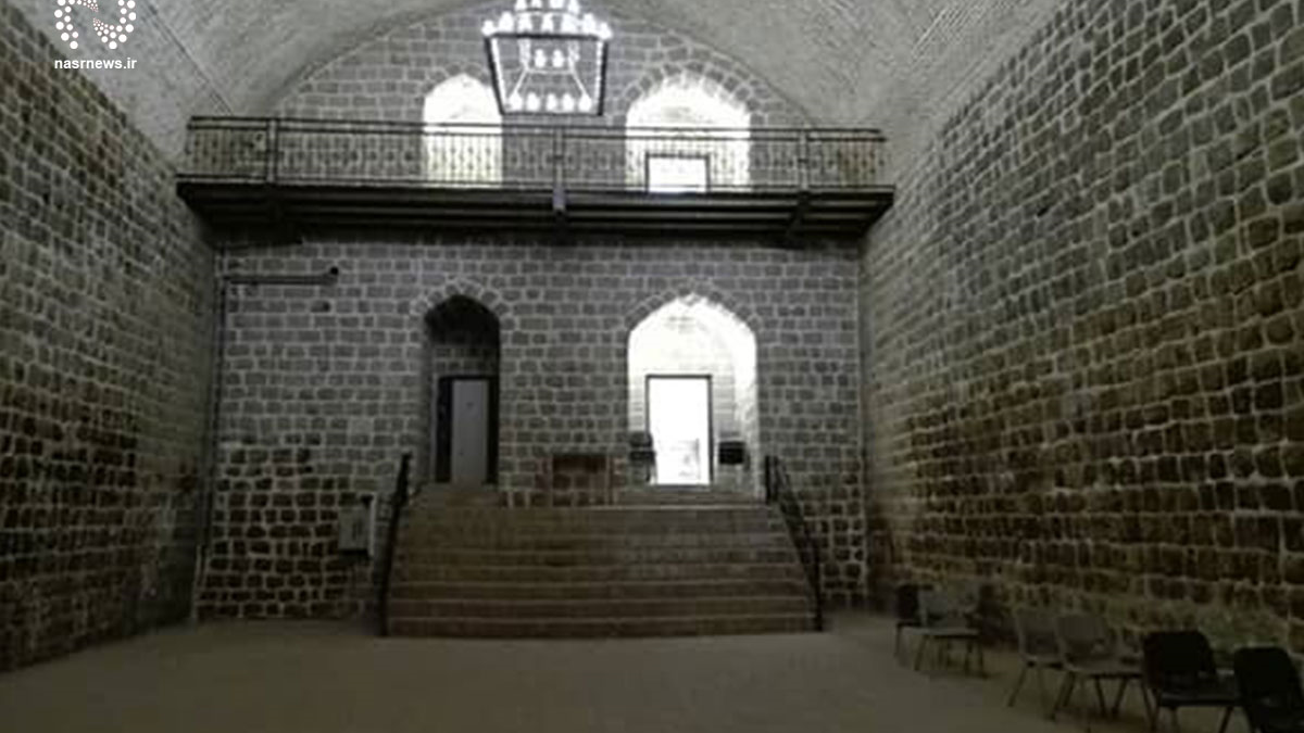
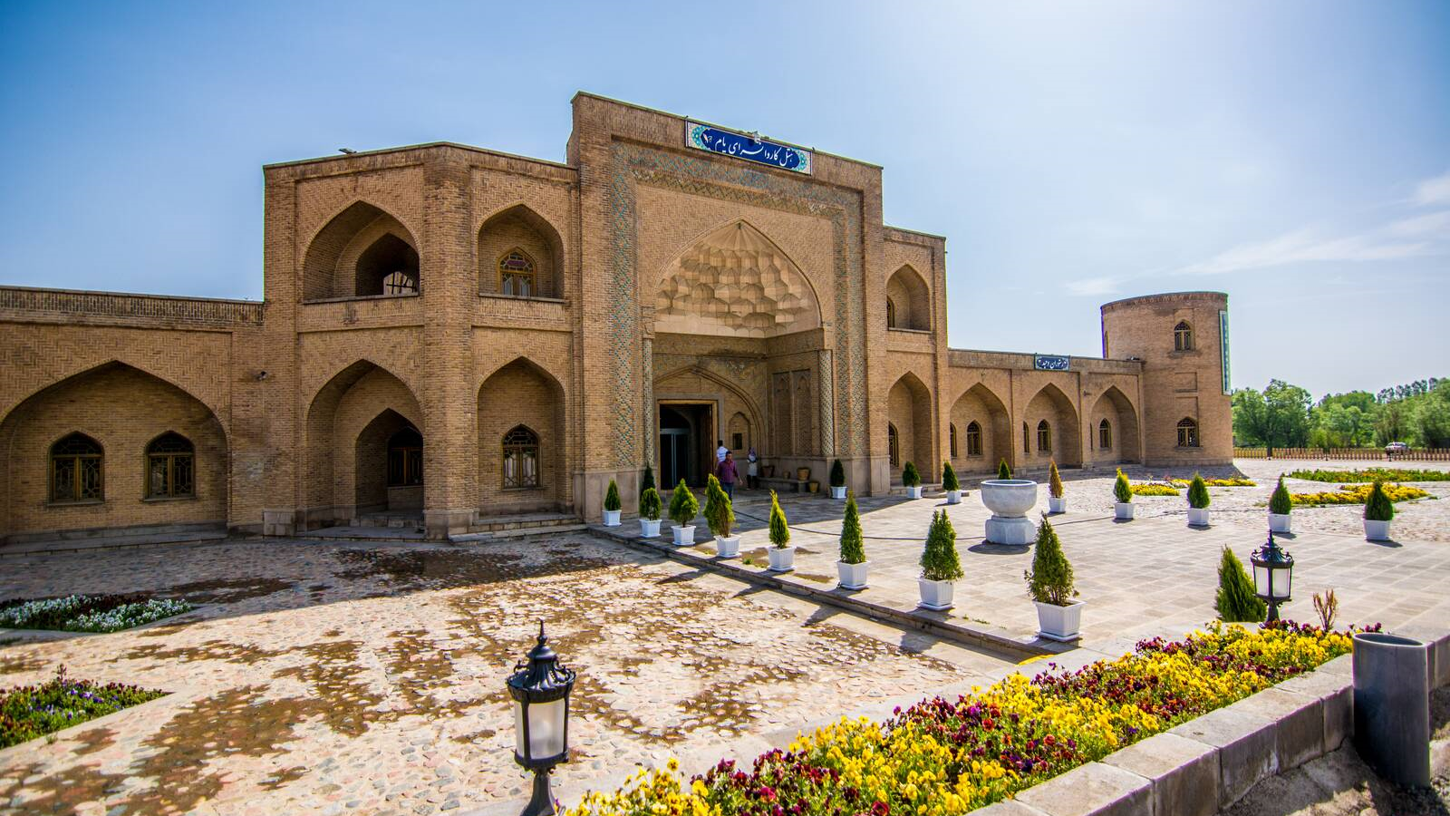
Qavamabad Caravanserai
Qavamabad Caravanserai had been used as a place to accommodate and serve passing caravans until recent centuries, and it is considered one of the signs of the importance of the region in the communication route of the surrounding cities. This caravanserai, which is located 20 kilometers south of Sa’adat Shahr, was known as the Shah Abbasi Caravanserai of Sivand during the Safavid era (1501 to 1736 AD). Sivand was a city that was destroyed after Mahmud Afghan attacked Iran and the fall of the Safavid dynasty (1736 AD).
Located over an area of 4038 square meters this caravanserai was built in the form of four porches, two courtyards, and three alcoves by using stones, bricks, and mortar. With a frame that is four meters high, the large gate of the caravanserai has given it a special glory. There are two stone platforms with a height of 120 cm on both sides of this entrance.
Qavamabad Caravanserai was inscribed on the list of Iran’s national heritage in 2001.
According to the travelogue of “Ibn Balkhi”, which he wrote about a thousand years ago, the name of this city was later on changed to “Kameh” and then “Kamin”, which is still used by some locals.
| Name | Pasargad County |
| Country | Iran |
| State | Fars |
| Type | Historical |
| Registration | Unesco |


Choose blindless
Red blindless Green blindless Blue blindless Red hard to see Green hard to see Blue hard to see Monochrome Special MonochromeFont size change:
Change word spacing:
Change line height:
Change mouse type: