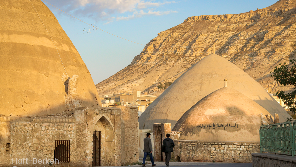
Razliq
Having a suitable climate and fertile soil, the foothill areas are considered a suitable environment for human habitation, hence, forming the first human habitats. There are signs of ancient human settlements in the East Azarbaijan province of Iran, which remain mysterious, pristine, and untouched. Razliq Rural District of East Azerbaijan province of Iran is a region that most tourists who visit for its very beautiful and attractive nature do not know much about its mysterious history.
Where Is Razliq Located?
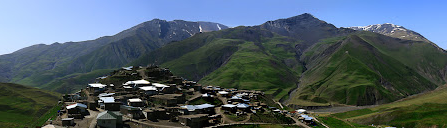
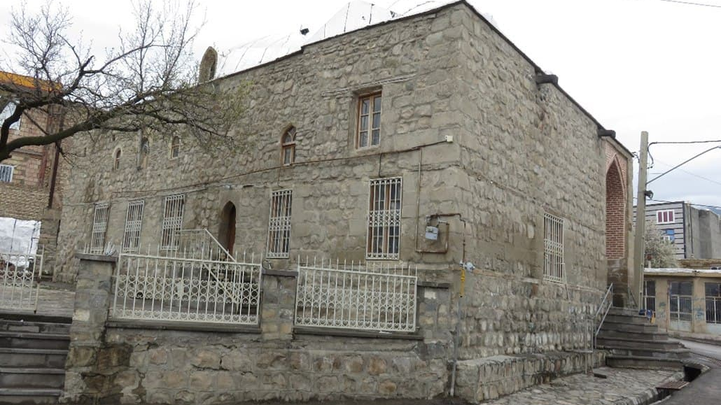
Razliq Rural District is the Central District of Sarab County, which is six kilometers away from the city of Sarab and located at the foothills of the Sabalan Mountains. About 2500 people live in Razliq Village, which is the center of the Razliq Rural Area, and mostly engage in agricultural and animal husbandry activities. There is a special breed of cow in this village, which is called “Sarabi” by the local people. The people of the village speak the Azari language and are famous for their hospitality.
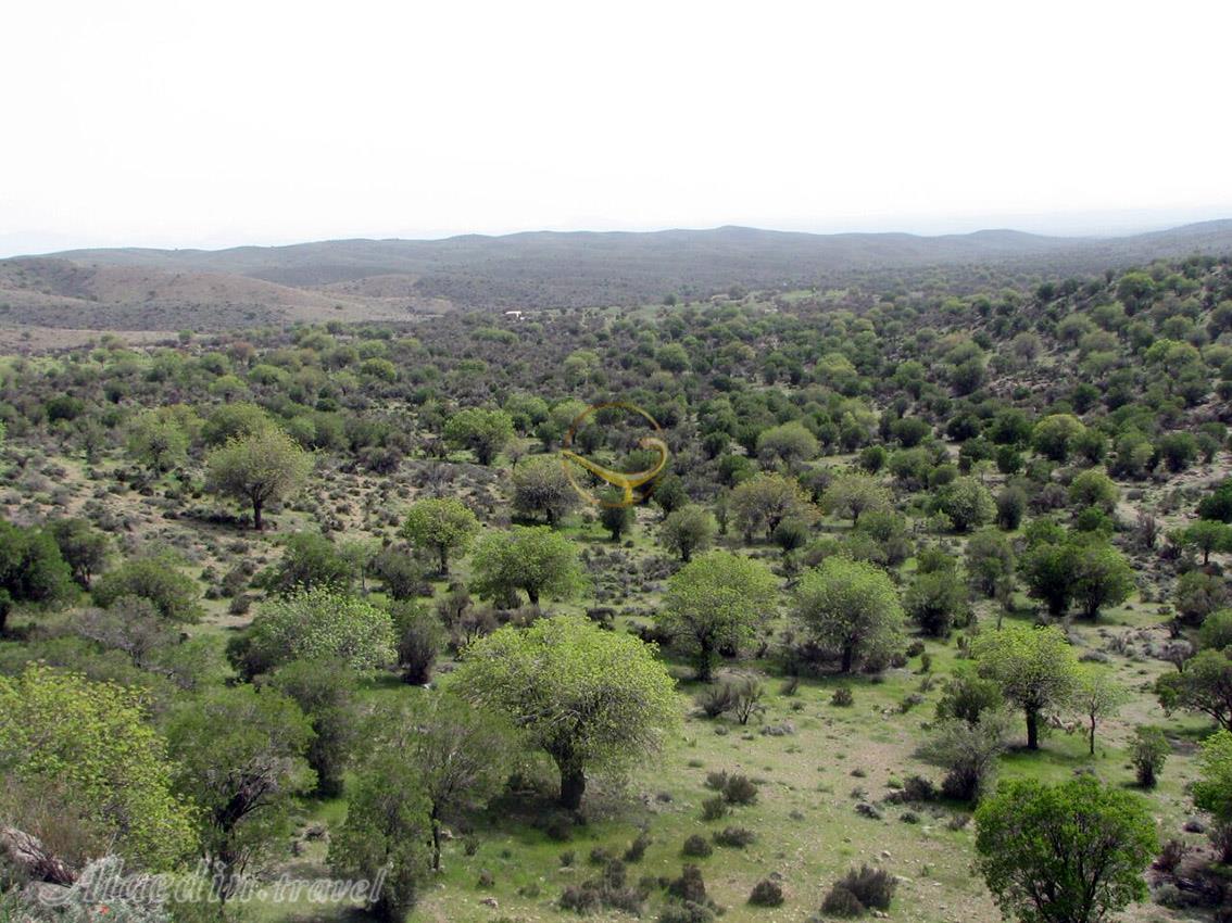
Although the mountains around Razliq are devoid of thick flora, the beautiful nature of the village in a valley that stretches for several kilometers, and the ancient sites located there, have turned Razliq into a tourist attraction.
The Inscription and Castle of Razliq
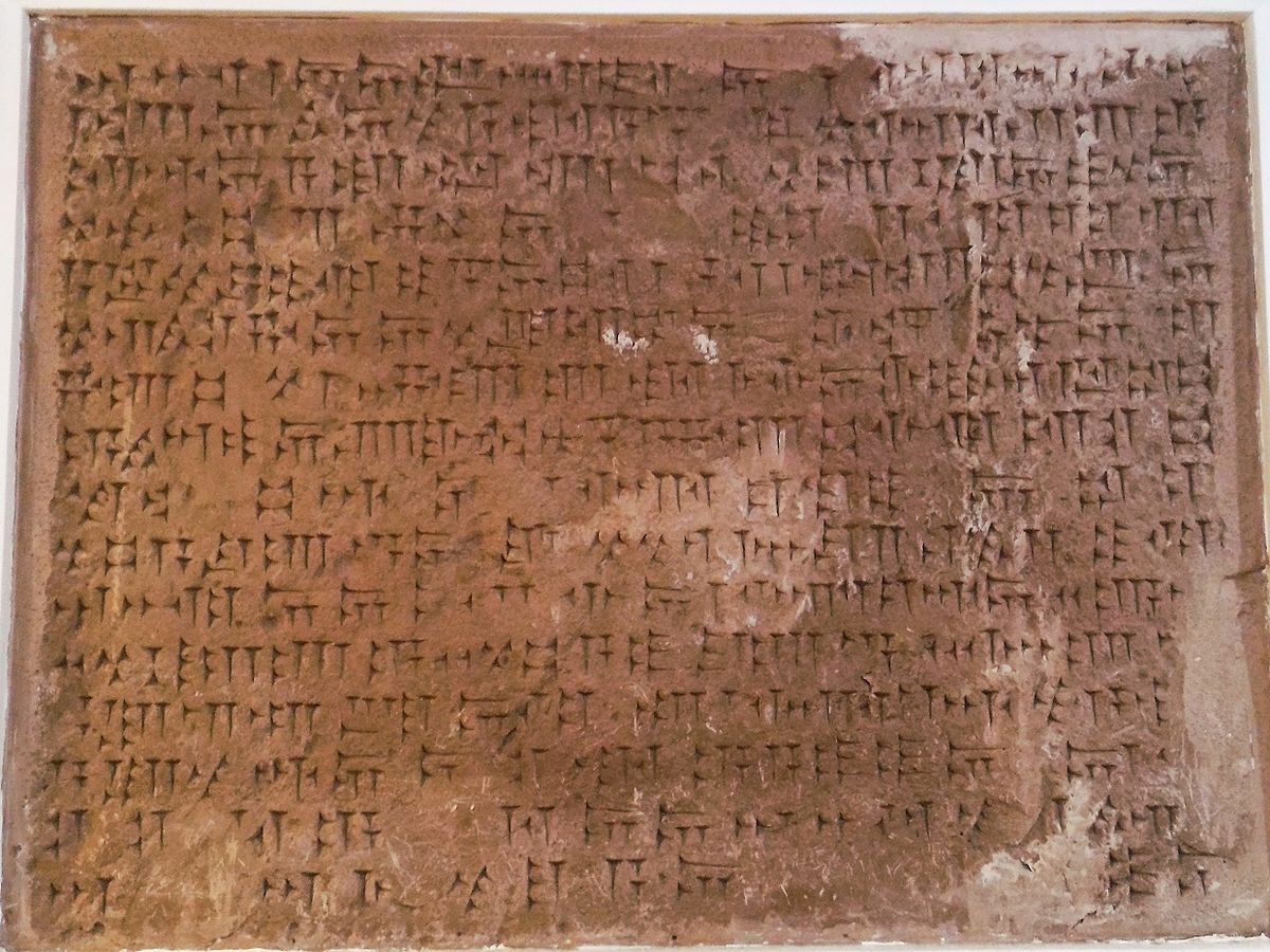
There is an ancient Urartian cuneiform inscription in the Razliq Village, which was inscribed on the list of Iran’s national heritage in 1968 AD. Urartians were tribes from the mountainous area of South Caucasus who formed a government in the 9th century BC and in the course of their conquests entered the regions of Azarbaijan and occupied the place where Sarab city is located today. The kingdom of Urartu, also known as the Kingdom of Ararat, became extinct around 600 BC. Most of the information available about this kingdom is in Assyrian script. The luxurious Urartian architecture had left a great impact on the Medes and the Achaemenids who ruled after them. During its time, this kingdom had expanded the trade around the Caspian Sea, and for a time, was the most powerful state in the Near East.
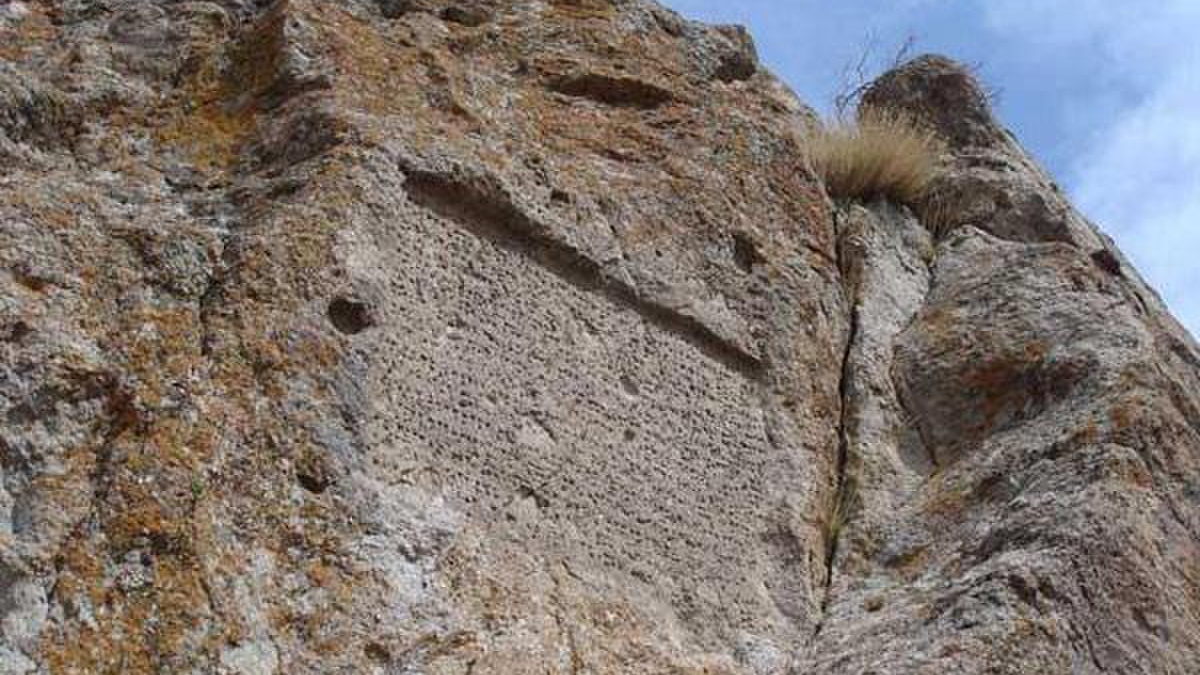
To see the inscription, one has to move from Razliq village towards Dizehej village. The Razliq inscription, measuring 110 x 82 cm, is written in 16 lines by the order of the Urartian king Argishti II, the son of Rusa I. A German archaeologist translated this inscription in 1971 AD. The text of this inscription describes the victories of Argishti II (reign from 714 to 680 BC) and the conquest of some lands of those days’ world.
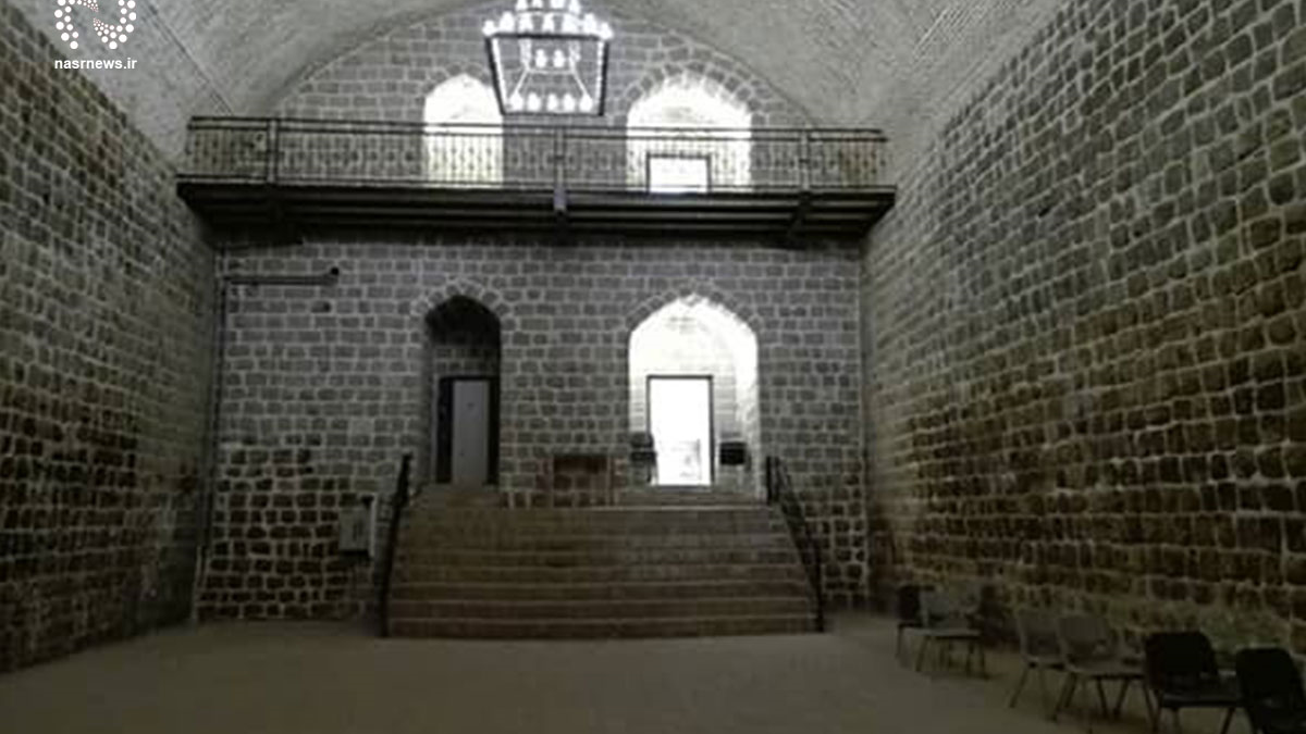
There is a castle by the Razliq River in the west of the Dizaj-e Sefid village, which is 11 kilometers from the city of Sarab. This castle is located near the Razliq inscription, and according to assumptions, it dates back to the first millennium BC and the period of Urartu rule. The remains of this castle show it was a huge structure. The castle is located on top of a mountain and was inscribed on the list of Iran’s national heritage in 2008.
Not much exploration has been done in this area yet, but in the course of some excavations, two pieces of glass artifacts, one piece of stone tool, two pieces of iron oxide, and two bones were found. A coin belonging to the 11th Century AH was also found in this area, which, along with glazed and unglazed earthenware discovered from the Islamic period (4th and 5th centuries AH or 11th and 12th centuries CE), shows long-term and continuous human settlement in this area.
Although the mountains around Razliq are devoid of thick flora, the beautiful nature of the village in a valley that stretches for several kilometers, and the ancient sites located there, have turned Razliq into a tourist attraction.
| Name | Razliq |
| Country | Iran |
| State | East Azerbaijan |
| City | Sarab |
| Type | Historical |
| Registration | National |


.jpg)
Choose blindless
Red blindless Green blindless Blue blindless Red hard to see Green hard to see Blue hard to see Monochrome Special MonochromeFont size change:
Change word spacing:
Change line height:
Change mouse type: