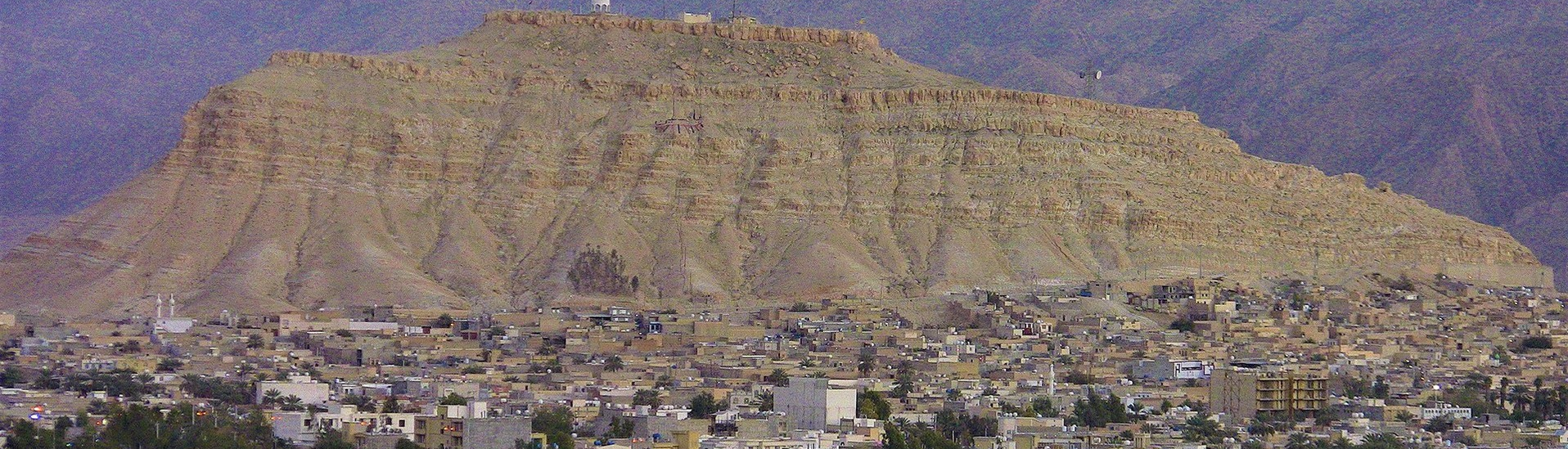
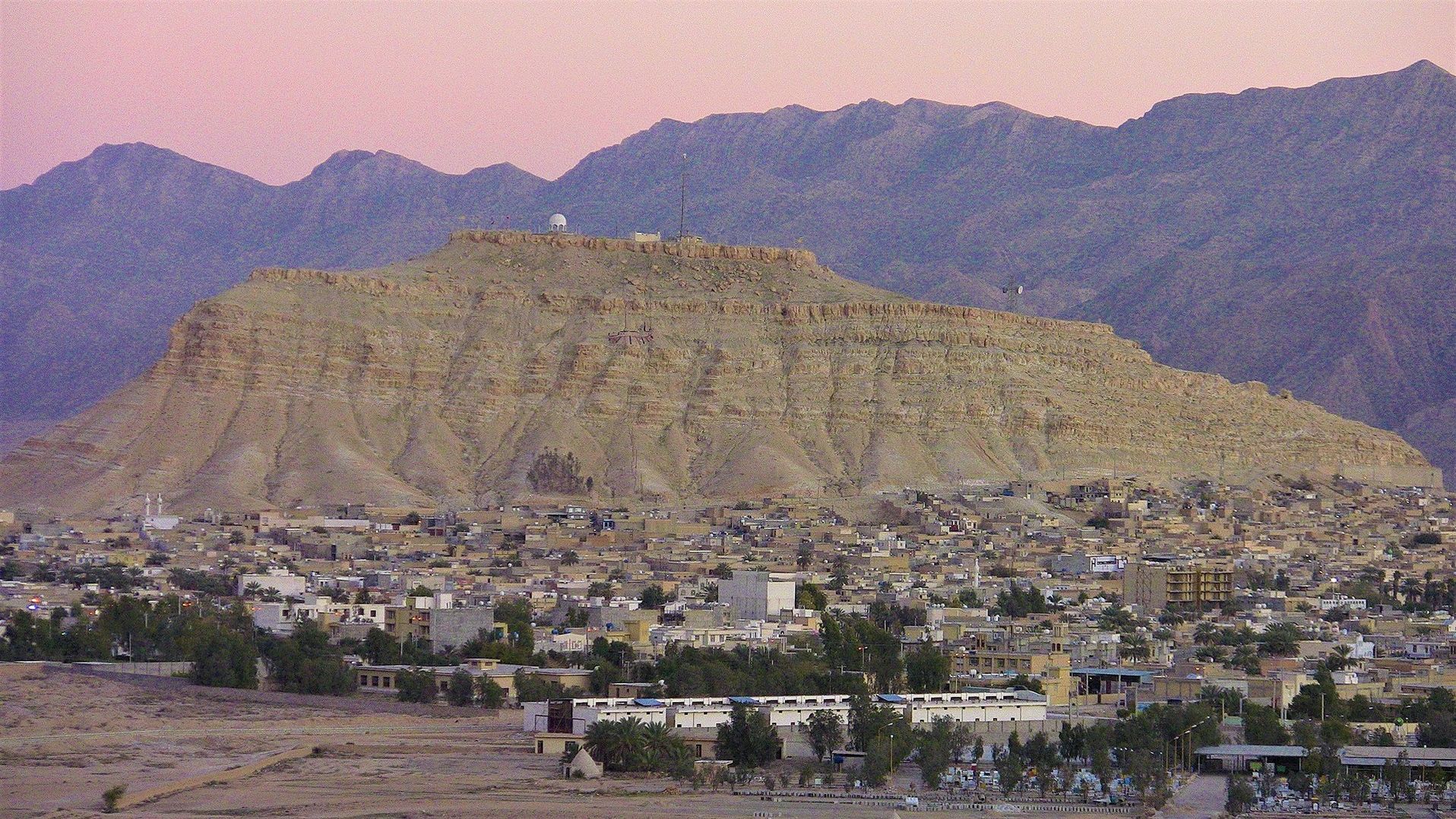
Gerash
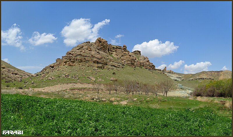
Built in the Navidisi region of the Zagros Mountain Range, Gerash is 355 km away from Shiraz with an altitude of 914 meters above sea level. Gerash has a hot and dry climate and was originally built on Kalat Hill, in a place known as “Homayoun Dezh” only the ruins of which are now left. There are several water reservoirs in this city, which have been built in different eras.
History of Gerash
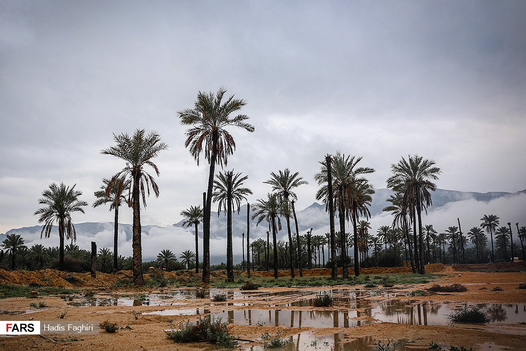
According to available historical evidence in the Ba’re Gal region, human habitation in the surrounding areas of Gerash dates back to prehistoric times. Archaeologists have estimated the age of this hill to be four thousand years. The excavations conducted on this hill show that the people of the region were followers of the Zoroastrian religion. During the Parthian period (247 to 224 BC), Gerash was the center of pottery. Later, during the Sasanian period, some dams were constructed in Gerash, whose remains can still be seen. The construction of such dams shows that agriculture had flourished in this region in those days. In the post-Islamist period, Gerash became the center of local rulers. The importance of this region has been such that the names of all the rulers who ruled over Gerash over a period of 400 years have been mentioned in historical books.
Historical Sites of Gerash
The historical sites of Gerash include a collection of monuments from the Sassanid era to the modern era.
Gompo Dam
There is a dam near Mohammadzina Village in Fadagh rural area, whose construction dates back to the Sassanid era (224 to 651 AD). The height and width of this dam are about 25 and 20 meters respectively. The thickness of the dam wall, which is made of stone and mortar, is about six meters. This dam was inscribed on the list of Iran’s heritage in 1999.
Tangab Dam
Tangab is another historical dam of Fars province, which was built during the Sasanian era. It is located in the Black Mountain region and at the foothill of the peak called “Bon-e-Morok”. This dam was restored in the Safavid period (17th century) and some walls were added to strengthen its structure. To transfer water, two pools and a stream have been created on the way to the surrounding agricultural fields. Currently, the back of the dam is filled with sediments and jujube trees have grown on it.
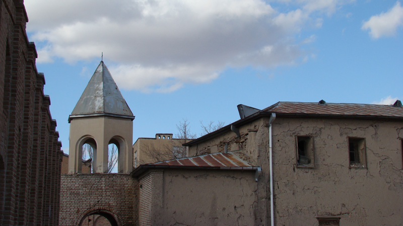
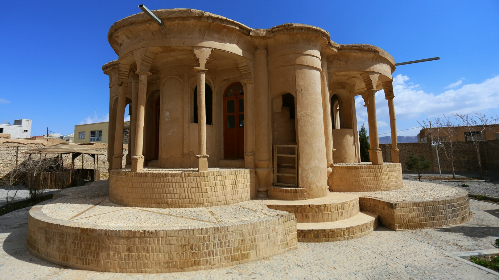
Jame’ Mosque of Gerash
This mosque is located in the “Pa Qal’eh” neighborhood of Gerash and since there is no inscription in the mosque, no exact opinion exists about the date of its construction. However, according to some narrations, it was in the middle of the 19th century - after the mosque had almost been destroyed - that the present building of the mosque was constructed. The nave of the mosque has 13 columns and four mesh stone windows next to its niche.
Akhund Mosque
The building of this mosque is attributed to two brothers by the names of “Sheikh Abdul Hossein” and “Sheikh Mohammad Baqir”. There are two inscriptions in the mosque in one of which the year of construction of the mosque is mentioned as 1045 AH (1635 AD). The shabestan (nave) of this mosque has four circular columns and crescent-shaped arches.
Seif al-Din Mosque
This mosque is located near the Jame’ Mosque of Gerash and it is more than 250 years old. The area of Seif al-Din Mosque is nearly 200 square meters, and its courtyard, hall, nave, and niche constitute its main parts.
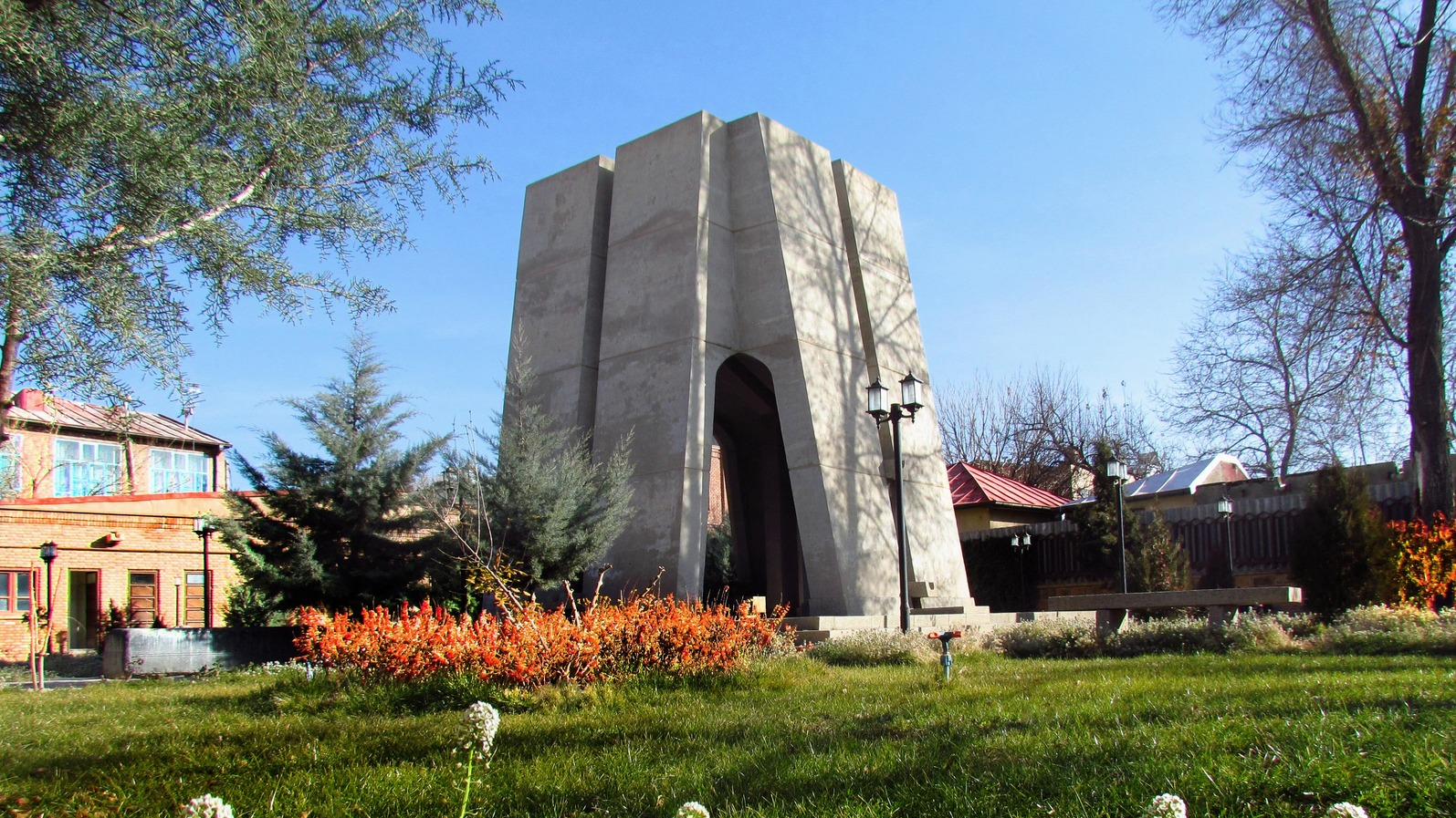
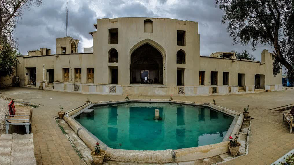
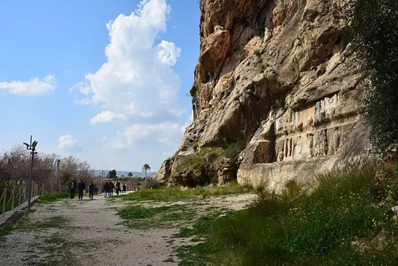
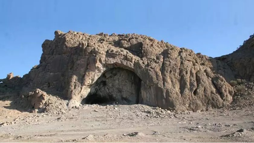
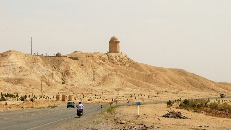
Gerash Castle
This castle, which is also known as “Homayoun Dezh”, has been built on the highest point overlooking the city. The castle had been the court of local rulers in different historical periods. During the time of Reza Shah (reigned from 1925 to 1941) and in the course of his conflict with Zadan Khan Gerashi, this castle was bombarded by airplanes and turned into ruins.
This castle, which was built on a hill that was 1070 meters above sea level, comprised a reservoir, a prison, a mosque, a bathhouse, a shelter, and a few houses. It was inscribed on the list of Iran’s national heritage in 2003.
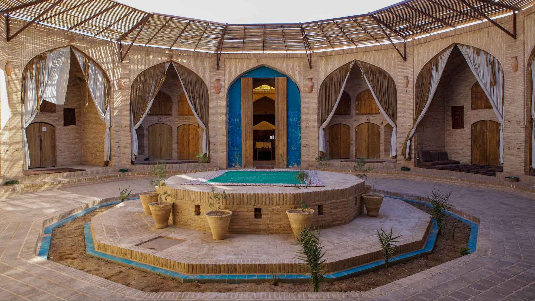
Bermir Caravanserai
Located on the road from Gerash to Lamerd the date of the construction of this work dates back to the Qajar period (19th century). Stone, mortar, and plaster were used in the construction of this caravanserai and its main entrance is located on the north side of the building. There are no rooms in the north and south of the building.
Built in the Navidisi region of the Zagros Mountain Range, Gerash is 355 km away from Shiraz with an altitude of 914 meters above sea level.
| Name | Gerash |
| Country | Iran |
| State | Fars |
| City | Gerash |
| Type | Historical |
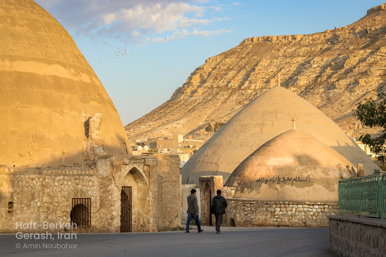


Reservoirs of Gerash
Iran being a dry and water-scarce land, the construction of water reservoirs, which are also called “Berkeh” in Persian, had been a method of storing the surface water in rainy seasons for being used in other seasons in this country. Even though, with the expansion of urbanization and the availability of piped water, reservoirs are less used in most parts of Iran, reservoirs of Gerash continue to be used as a source of water supply for many locals.
The most important reservoirs of Gerash included:
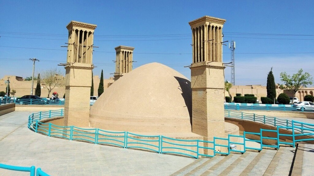
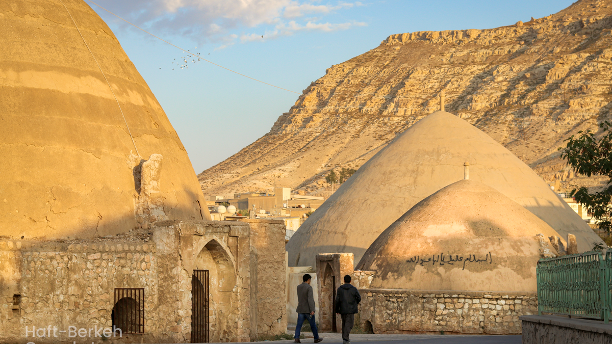
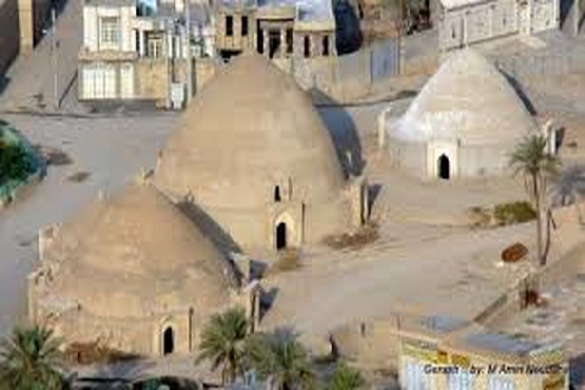
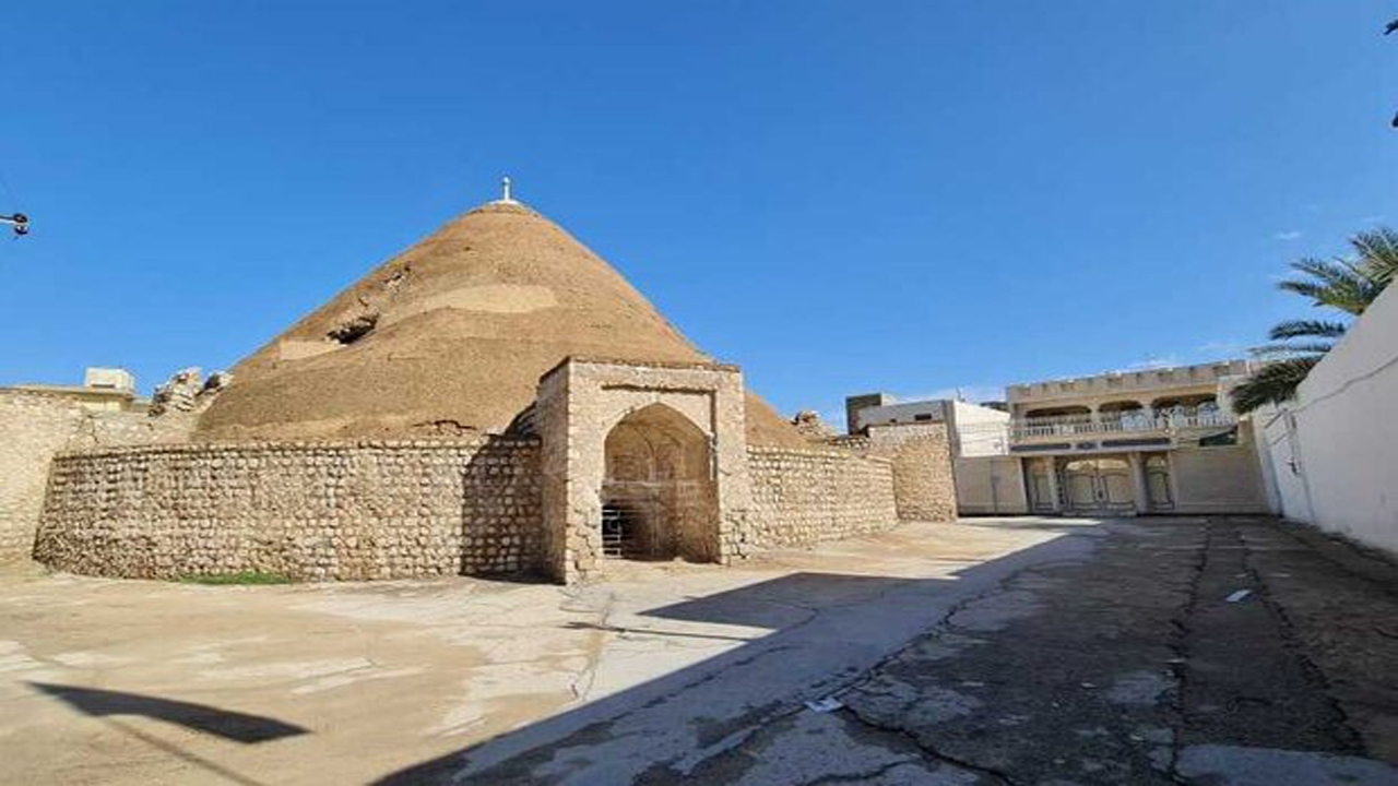
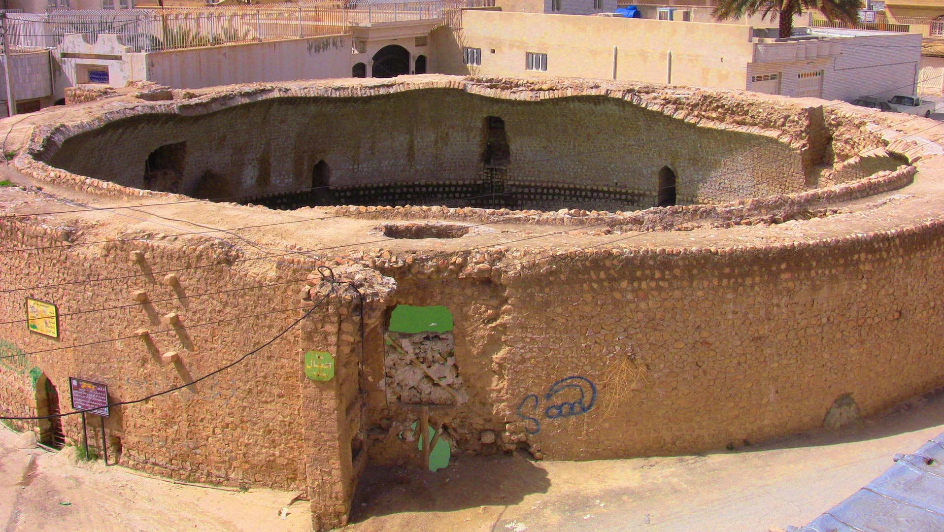
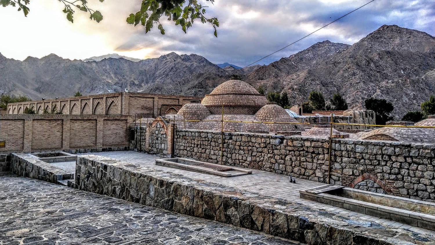
Haft Berkeh
Located in the middle of Gerash City “Haft Berkeh comprises seven reservoirs built in different historical periods and in different sizes. All these reservoirs are located on the path of a seasonal river called Bez’erd and are filled with water during the peak rainy season when this river flows. Five of these reservoirs have dome-shaped roofs and two of them have no roof. The largest water reservoir of this collection is known as “Haj Abolhasan Reservoir” the construction of which was financed by a person with the same name. Haft Berkeh of Gerash was inscribed on the list of Iran’s national heritage in 1976.
Chahartaq Reservoir
Chahartaq reservoir, which is also called “Chartakh Berkeh” in the local dialect has four arches (taq) in front of its eastern opening, which makes it different from other Gerash reservoirs. This reservoir is outside Gerash City and near a farm called “Bagh-e Musa”. Although due to the erosion of its inscription, the exact year of construction of this reservoir is not known, it was probably built at the end of the 19th century. The materials used in this reservoir are stone, plaster, and mortar.
Panj Berkeh
As the name suggests, there are five reservoirs in this part of Gerash the construction of which dates back to the Qajar and Pahlavi eras (18th to 20th centuries). Stone and plaster are the main materials used in these water reservoirs and the inner walls of it are covered with sarooj to prevent water from leaking out.
Sa’ida Reservoirs
This collection of Gerash reservoirs is located in Fadagh village of Gerash and is one of the largest villages in Fars province with a population of more than six thousand people. The history of this collection of reservoirs goes back to the Qajar period, but some local residents believe that this collection was built during the Afsharid era (18th century AD).
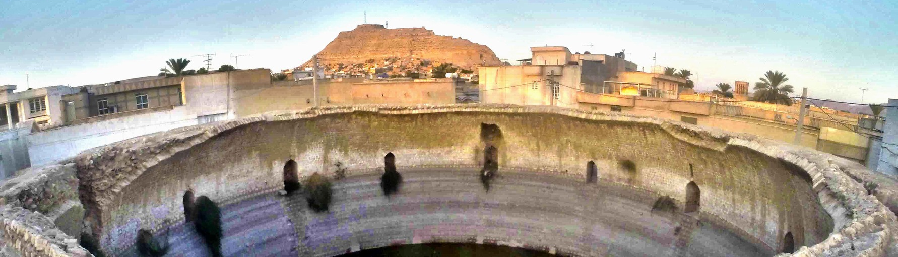
Kal Reservoir
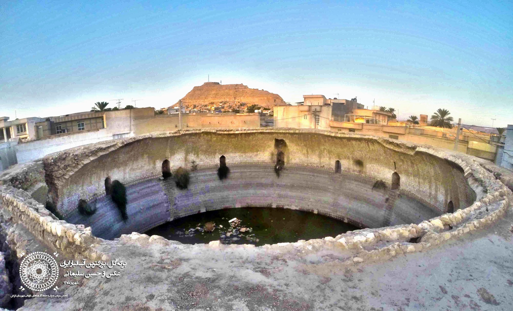
This reservoir is considered to be the largest reservoir in Iran, which can hold over 13 million liters of water. The reservoir had a roof that collapsed a long time ago. Although the constructions around this reservoir have blocked its waterways, water flows into this reservoir during the rainy seasons and gets stored to be used in other seasons.
Haj Asadollah Reservoir
The construction of this reservoir was completed in 1869 AD. Both this reservoir and Kal reservoir were built by a person named “Haj Asadullah”. Haj Asadollah Reservoir is the second largest reservoir of Gerash, after Kal Reservoir. This building has six openings, two water inlets, and one water outlet. Stone and sarooj have been used to build the channels and entrances.
Iran being a dry and water-scarce land, the construction of water reservoirs, which are also called “Berkeh” in Persian, had been a method of storing the surface water in rainy seasons for being used in other seasons.
| Name | Reservoirs of Gerash |
| Country | Iran |
| State | Fars |
| City | Gerash |
| Type | Historical |
| Registration | National |


Choose blindless
Red blindless Green blindless Blue blindless Red hard to see Green hard to see Blue hard to see Monochrome Special MonochromeFont size change:
Change word spacing:
Change line height:
Change mouse type: