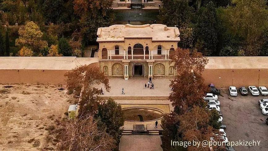
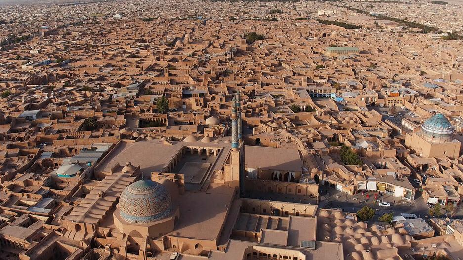
Chaharmenar Locality and Mosque
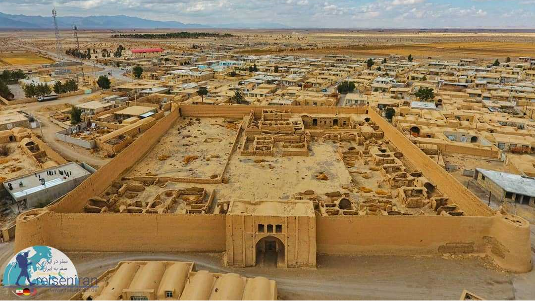
There are several localities with many historical sites in Yazd. One of these old neighborhoods is Chaharmenar, which is currently located in the center of the city. Chaharmenar Locality is the largest historical neighborhood of Yazd and has hosted the most important events of the city throughout history. Dowlatabad Historical Garden, which has been inscribed on the UNESCO List of World Heritage, is located in this neighborhood.
The Origin of the Name of Chaharmenar Locality
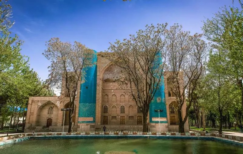
The old name of this neighborhood was “Bahruk” or “Pahruk”, which means wide or broad land. However, this neighborhood is called Chaharmenar today because of the presence of four minarets on two opposite schools, which are known as Chaharmenar or Shamsiyeh Schools. These schools were built by the order of Seyyed Shamsuddin Muhammad Bin Ruknuddin, whose tomb is now located there. Presently, there are no traces of these minarets left, but according to historical evidence, these minarets were decorated with beautiful green tiles.
History of Chaharmenar Locality
According to the elders of the neighborhood, Seyyed Shamsuddin built up this neighborhood by establishing a school, a monastery, and a market. At that time, the neighborhood was outside the city walls, and even the Friday prayer was held independently from the city’s Friday prayer, in the Mir Khezr Shah Mosque. Although the neighborhood was outside the city, it was very important and the governors of Yazd tried to extend the streets and government gardens of the city to the Chaharmenar neighborhood.
The construction of certain buildings, some of which exist today in the Chaharmenar neighborhood, was completed in 717 AH (1317 AD). Seyyed Shamsuddin died in Tabriz in 733 AH (1332 AD) and his body was transferred to Yazd and buried in Shamsiyeh School.
The Chaharmenar Locality, presently, consists of two parts, Chaharmenar Alley and Bondun (Bondar) Alley. According to the local residents, the choice of the name Bondar for this street was due to the existence of many gardens in it, which belonged to a Zoroastrian by the name of “Gur Namir”. Since Chaharmenar was the last locality of the city in the past, they used to light a fire on top of its high buildings at night so that the caravans would not lose their way.
Demography of Chaharmenar Locality
In the past, Iran’s social system was based on tribal divisions, and sometimes the heads of some tribes could take over the government of the country by overcoming other tribes and this is exactly what happened in the 18th century AD when the Qajar tribe was able to establish a dynasty in Iran by being winning over other tribes. However, due to its unfavorable geographical and climatic conditions, the city of Yazd was far from such a tribal system and was governed in an urban and civil manner. This way of managing society led to the cultural progress of the city, but the existence of numerous fences affected the relationship between the inner and outer neighborhoods and created cultural differences between them.
This difference was even seen in the professions of the people of different neighborhoods of Yazd, such that the people of Chaharmenar were engaged in weaving, trade, and goldsmithing, but the people of the suburbs were mainly farmers. The difference between the localities was even reflected in their dialects.
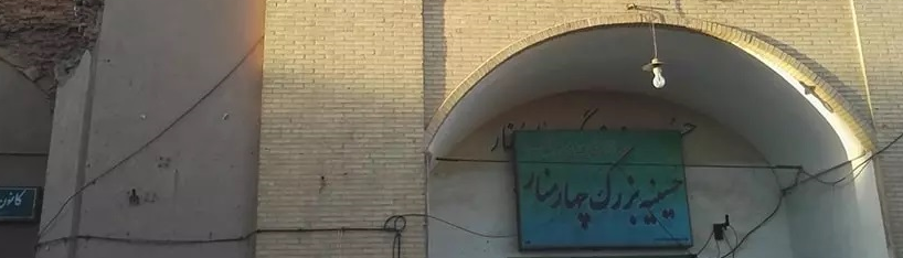
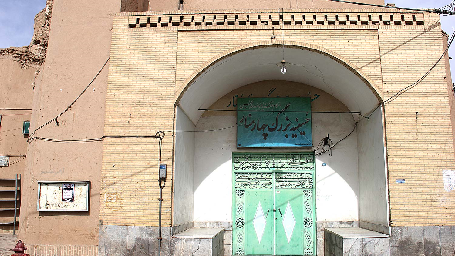
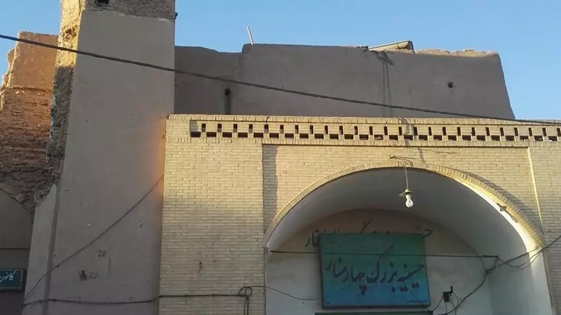
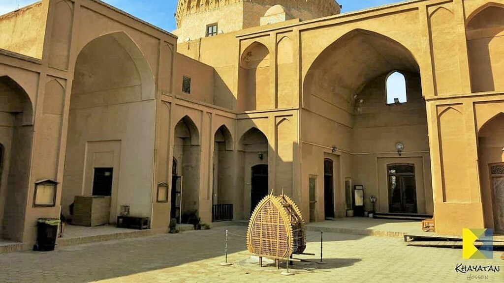
Chaharmenar Mosque
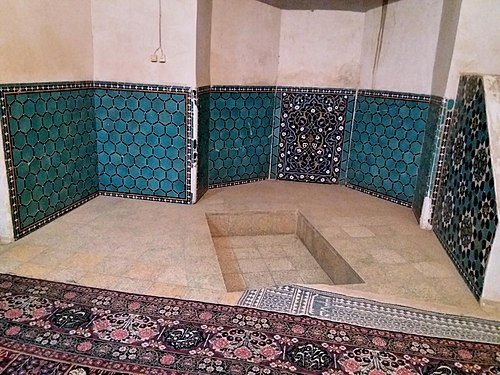
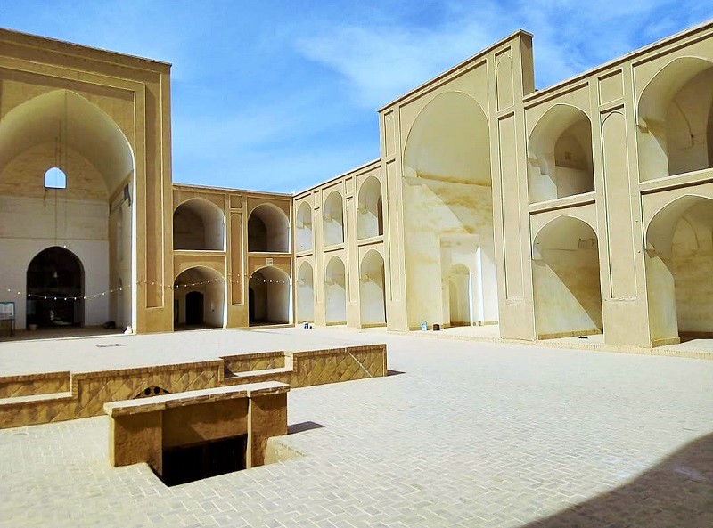
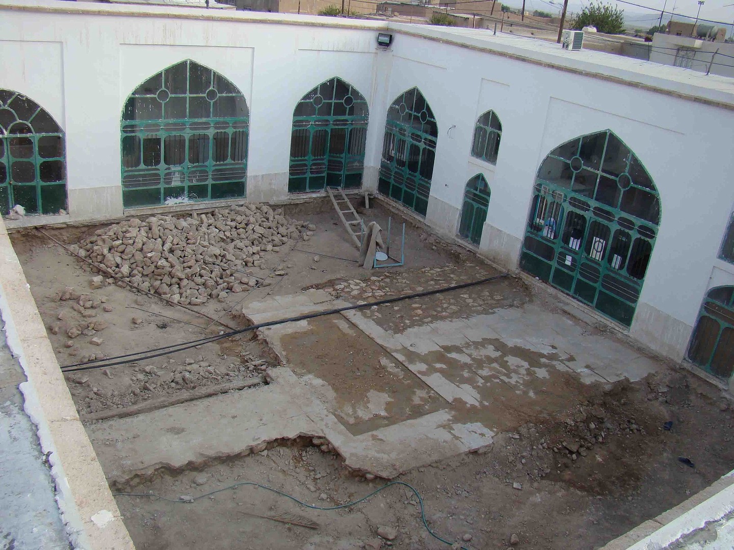
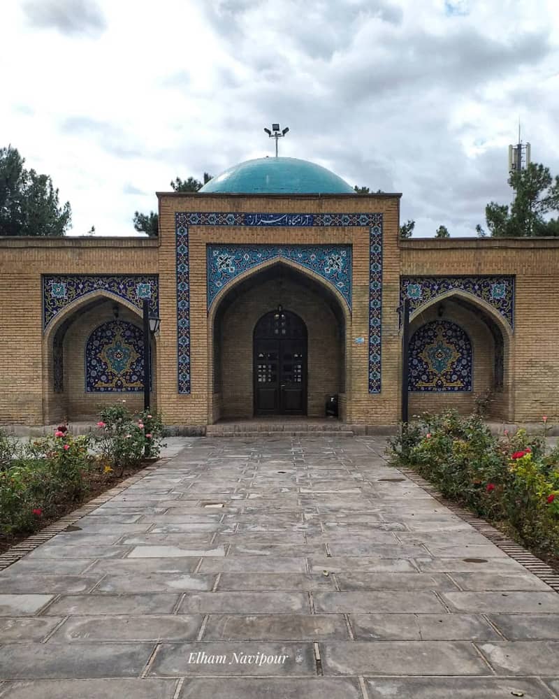
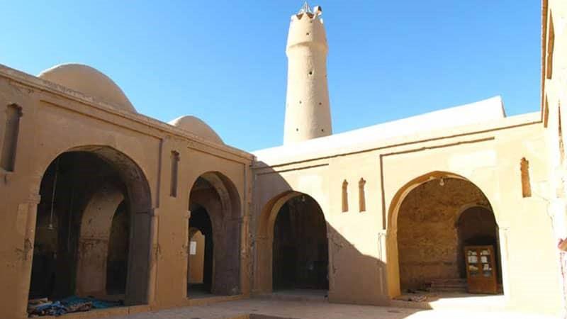
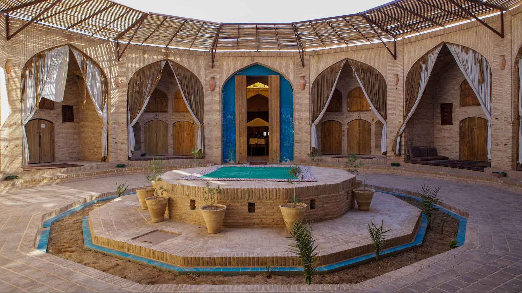
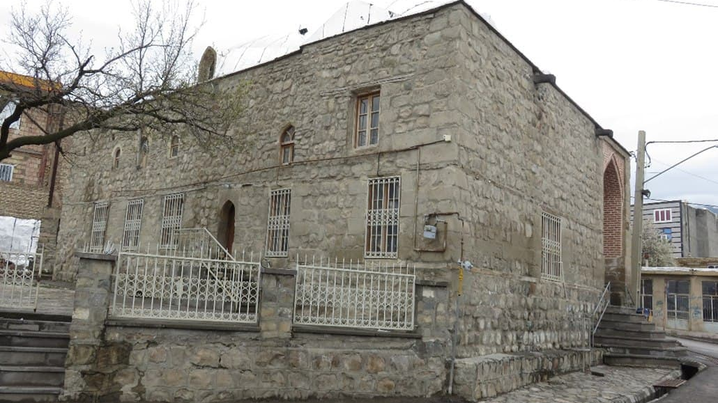
Khezr Shah or Chaharmenar Mosque is one of the historical buildings located in the Chaharmenar locality, the longevity of which dates back to the Timurid era (1194 to 1370 AD). A porch, a summer courtyard, and a warm house are the different parts of the Chaharmenar Mosque. In one of his books, the Iranian writer, Iraj Afshar, has described the Chaharmanar Mosqueas follows:
• The entire mihrab (niche) is covered with mosaic tiles of the Timurid era.
• The eastern body of the pulpit is decorated with mosaic tiles.
• There is a piece of marble measuring 55 by 60 cm in the mihrab of the warm house, on which the date 1294 (probably the lunar year is meant, in which case it is equivalent to 1877 AD) has been engraved in a very rough way.
• There is a carpet of 7.40 by 4.25 meters with a wide prayer mat design and tree and bush motifs in the main hall of the mosque.
The Chaharmenar Mosque was inscribed on the list of Iran’s national heritage in the year 1999 AD.
Chaharmenar Locality is the largest historical neighborhood of Yazd and has hosted the most important events of the city throughout history. Dowlatabad Historical Garden, which has been inscribed on the UNESCO List of World Heritage, is located in this neighborhood.
| Name | Chaharmenar Locality and Mosque |
| Country | Iran |
| State | Yazd |
| City | Yazd |
| Type | Historical |
| Registration | National |
_crop_3.jpg)

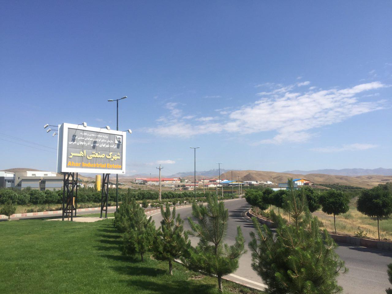
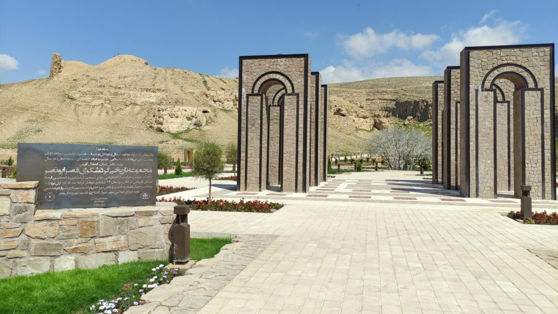
Ahar
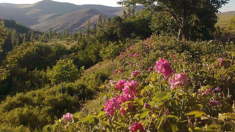
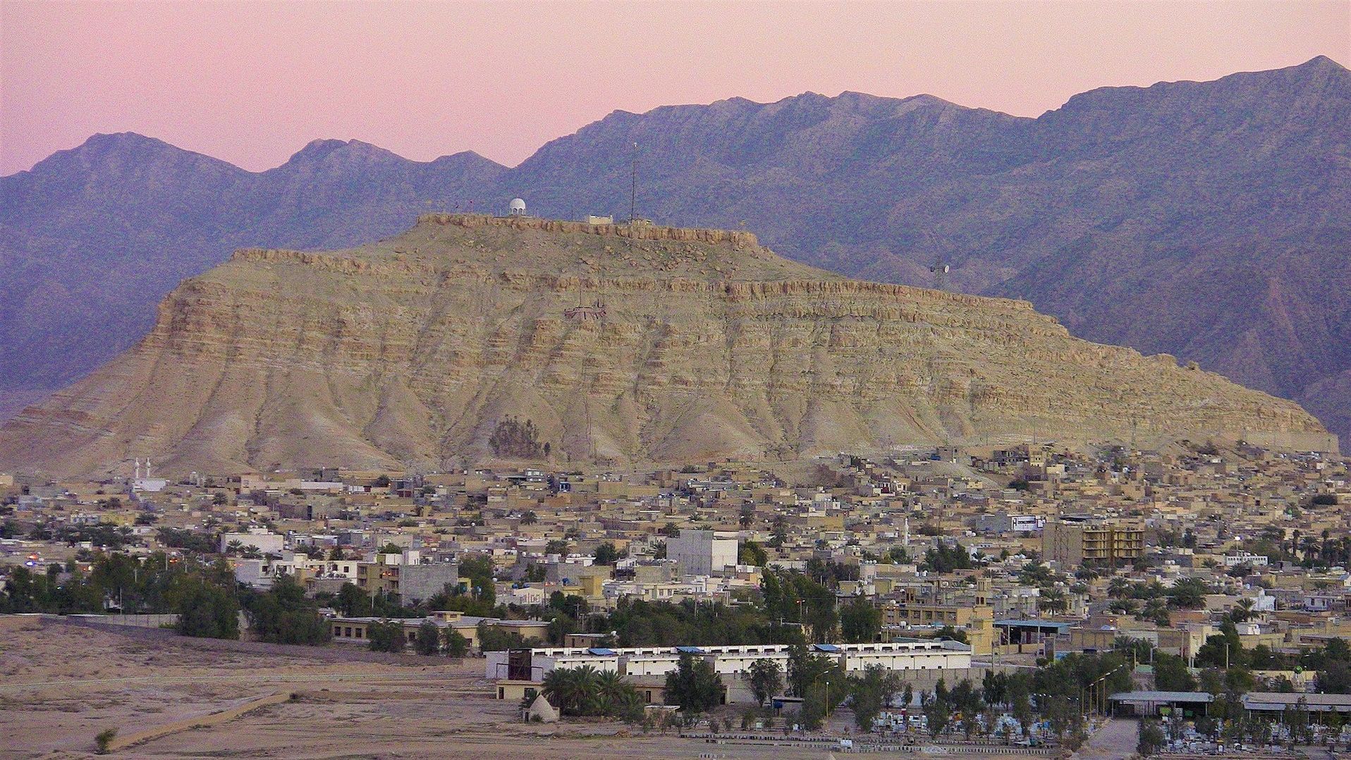
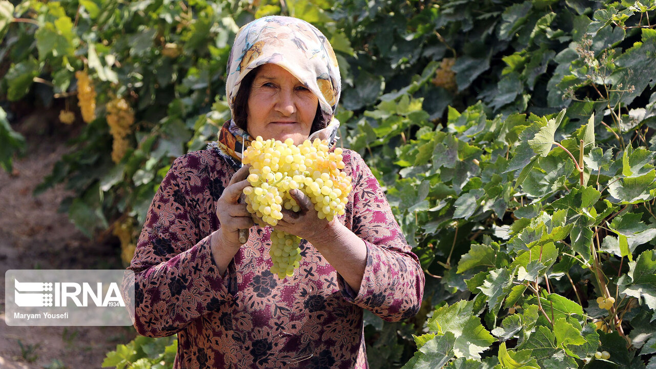
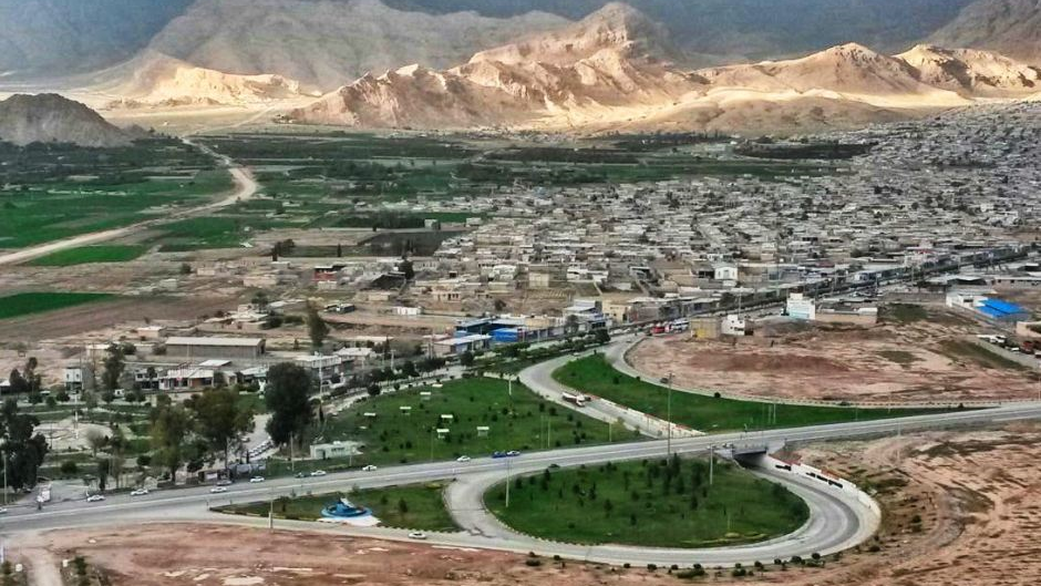
Situated in the East Azarbaijan Province, the people of this county mostly engaged in farming, horticulture, animal husbandry, and also beekeeping. Ahar City, the center of this county, is the fourth most populated city in the province. With its beautiful natural and historical attractions, this city hosts many tourists every year.
Geography and Climate of Ahar
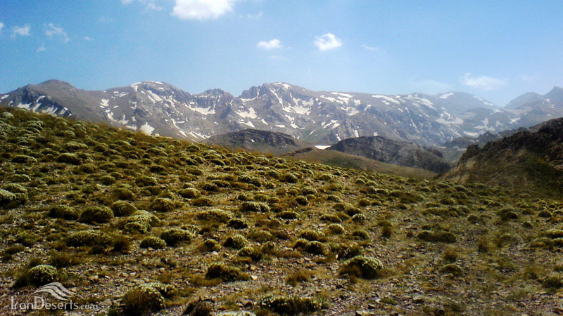
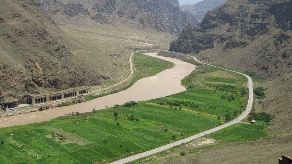
Ahar city is located 88 km northeast of Tabriz and 65 km from Meshkinshahr, on the route connecting Tabriz and Ardabil. Ahar is the largest city in the Arasbaran region and houses pristine areas. The annual rainfall of this city with a pleasant climate is between 310 and 450 mm. Several rivers flow in Ahar, the most important of which are “Kichikchay”, “Aharchai”, and “Rangulchay”.
Ahar has a population of more than 100 thousand people who speak Azari Turkish. Before the Iran-Russia wars in the 19th century, a high percentage of the population of Ahar lived a nomadic life and it was only since that time that they gradually turned to settling in rural and urban areas of the region.
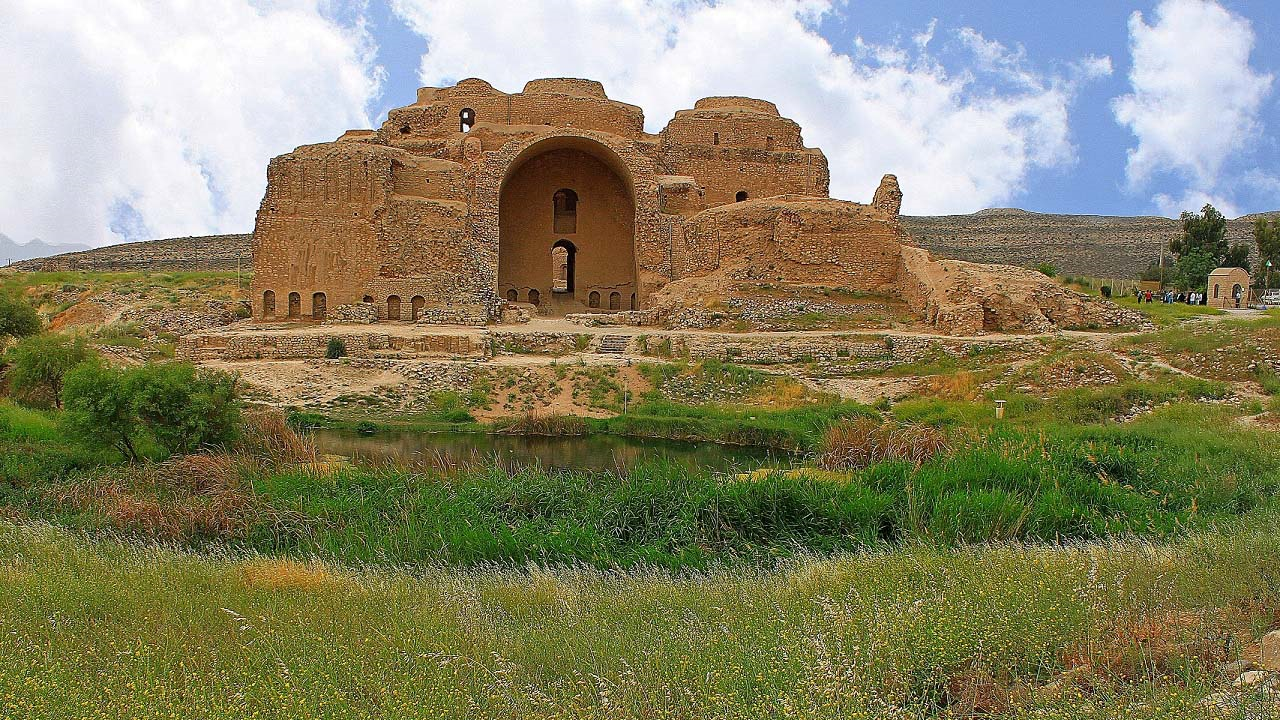
History and Historical Attractions of Ahar
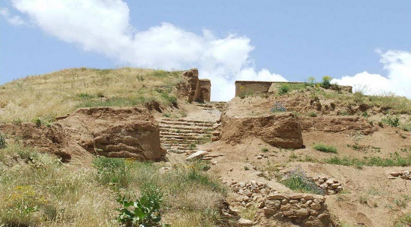
The archeological discoveries made around Ahar and the artifacts found belonging to the pre-Islamic era have convinced some experts that the history of this city goes way back to before the advent of Islam in Iran (7th century AD). Ahar was the power center of the opponents of the Abbasid government from the mid-2nd century AH until 222 AH (837 CE). Babak Khorramdin is one of the well-known figures of this period.
Before the coming to power of the Mongol Ilkhanate Dynasty in the 13th century, Ahar was mainly governed by local rulers. Ahar was the summer resort of the Ilkhanate rulers but faced decline for some time. After the Safavids came to power in the early 16th century AD, it, once again, became the center of attention such that Shah Abbas the Great visited it twice in 1605 and 1611 AD. During the Qajar era, Ahar was governed by Qajar princes, and during the Iran-Russia wars, Abbas Mirza, the crown prince of Iran and commander of the forces, made Ahar his headquarters. Ahar was severely damaged during these wars. This city was one of the main centers of the constitutional revolution. The most important change in this region in the contemporary era has been the expansion of urbanization.
Historical Attractions of Ahar
One of the most famous historical monuments of Ahar is the tomb of Sheikh Shahabuddin Ahari, who lived in the 14th century CE. This tomb has been converted into a museum and is known as the only museum of literature and mysticism in Iran.
The Bazaar of Ahar, the four main parts of which are “Jafar Qoli Khan Bazaar”, “Kafashan Bazaar”, “Nasir Beig Bazaar”, and “Rasteh Bazaar”, is another historical attraction of Ahar.
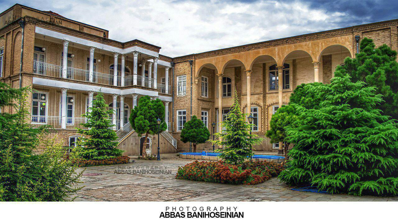
There are also some interesting historical mansions in Ahar including the historical house of “Qasim Khan Ahari”, the house of “Verni”, and the house of “Bashir Amer” who was a descendant of Abbas Mirza. The house left by him was built more than 110 years ago over an area of 1200 meters.
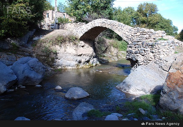
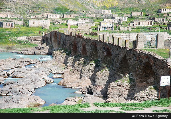
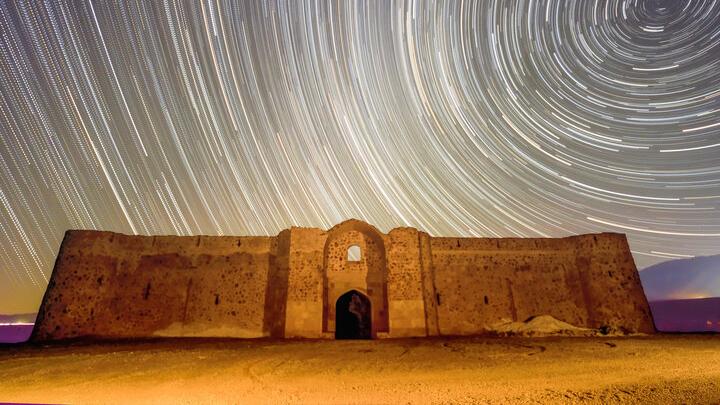
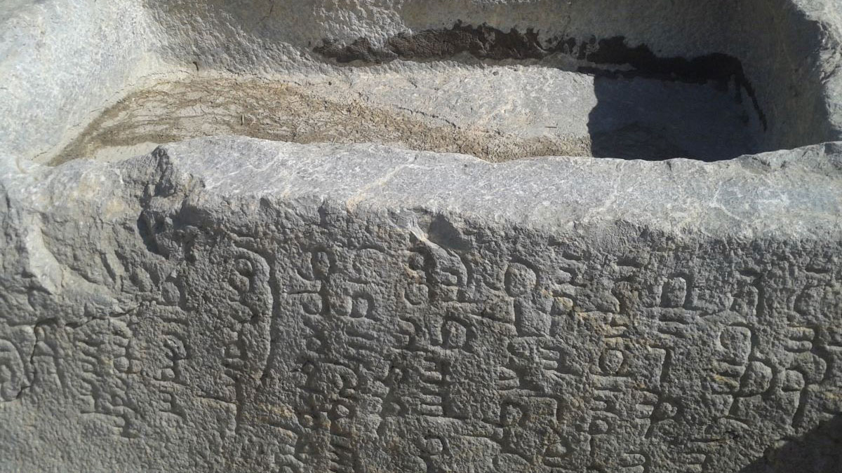
“Gouyche Bil” Caravanserai, which is about 500 years old, the historical Seljuq Mosque, Stone Museum, and historical castles of “Naqduz”, “Shivar”, “Babajan”, “Kalhor”, and “Poshtab are other historical monuments of Ahar City.
Natural Attractions of Ahar
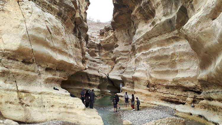
The geographical location of Ahar city has created many natural attractions in it. “Youseflu” and “Dibsiz” wetlands, “Sttar Khan” and “Yakhfervazan” dams, forests of the Ahar protected area, Qarahdagh summerhouses in the north and south of the city, Fandaqlo forest park, and Shivar mountains are some of the natural attractions of Ahar.
Souvenirs of Ahar
A type of cookie called “Ahari” is the main and most popular souvenir of Ahar. This sweet is made from flour, sugar, cardamom, ginger, and some other ingredients and has a soft texture. Yatiqat bread is another souvenir of this city, which was inscribed on the list of Iran’s intangible national heritage in the year 2015.
| Name | Ahar |
| Country | Iran |
| State | East Azerbaijan |
| City | Ahar |
| Type | Historical |
| Registration | National |

_crop_2.jpg)


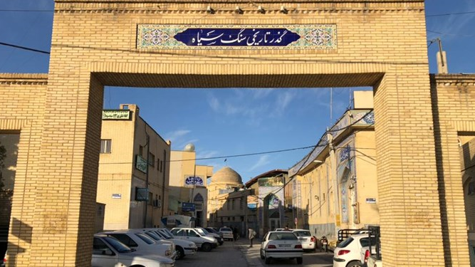
Chahar Menar: The Lesser-Known Neighborhood of Tabriz
Mosques have long been among the most important cultural and social institutions in Iranian communities. Their significant role has meant that historically, each neighborhood often had one or more important mosques. As a result, historic mosques today stand as some of the most valuable remnants of the past.
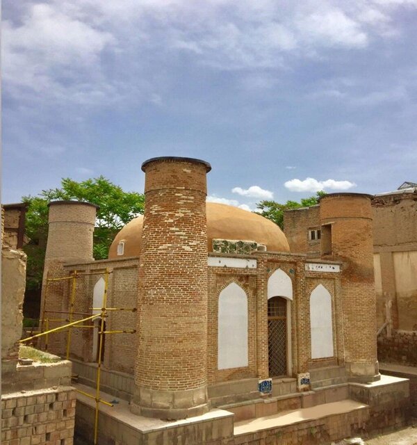
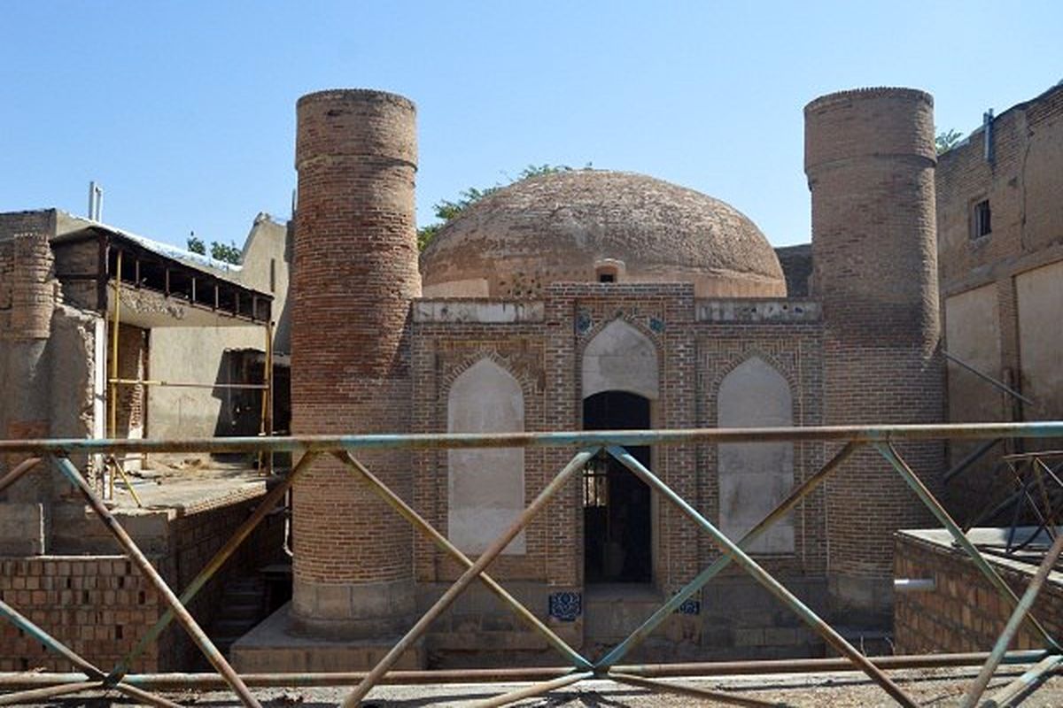
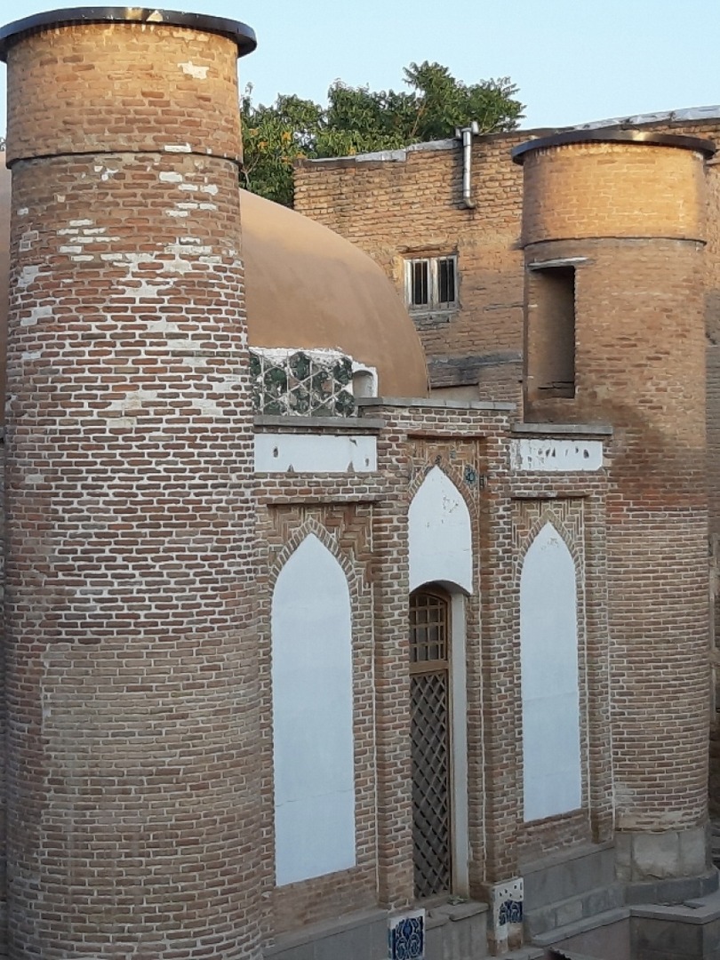
In Tabriz, recognized as one of Iran’s largest and most important cities, several significant and valuable mosques exist. Some of these mosques were so central to their neighborhoods that the surrounding areas were named after them, such as the Chahar Menar Mosque and Mausoleum, around which the local houses and district took their name.
The Historic Chahar Menar Neighborhood and Its Features
In the past, Tabriz was composed of 24 neighborhoods, and Chahar Menar was one of them. This neighborhood is situated in the northern part of the Tabriz Bazaar, with a significant portion of its area dedicated to the bazaar itself. As a result, the long-time residents of Chahar Menar were among the city’s affluent and influential citizens.
Chahar Menar is bordered to the north by the Mehranrud River (Meydan Chay), to the west by the Rasht-Koocheh and Jameh Mosque neighborhoods, to the east by Darayi Street, and to the south by the Tabriz Bazaar. The neighborhood’s name is derived from the Chahar Menar Mosque and Mausoleum. Despite its high historical value, its proximity to the bustling Tabriz Bazaar has led to less attention being given to the neighborhood itself.
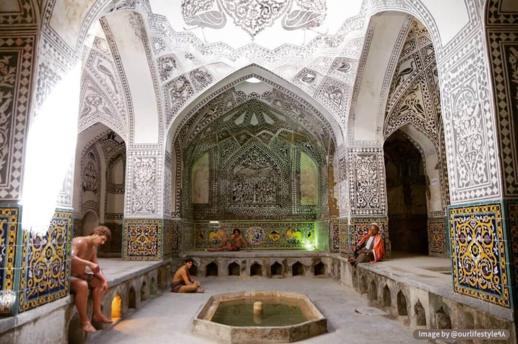
The most significant historical structure in the Chahar Menar neighborhood is the Tabriz Historical Bazaar, which includes schools, mosques, and several smaller bazaars. Other notable historical buildings in the neighborhood include Khan Bathhouse, Kazemiyeh Mosque and School, and a number of caravanserais.Old historical sources mention several other structures, including multiple mosques, which have likely disappeared over time, particularly following the earthquake of January 8, 1780 (18 Dey 1158 in the Iranian calendar).
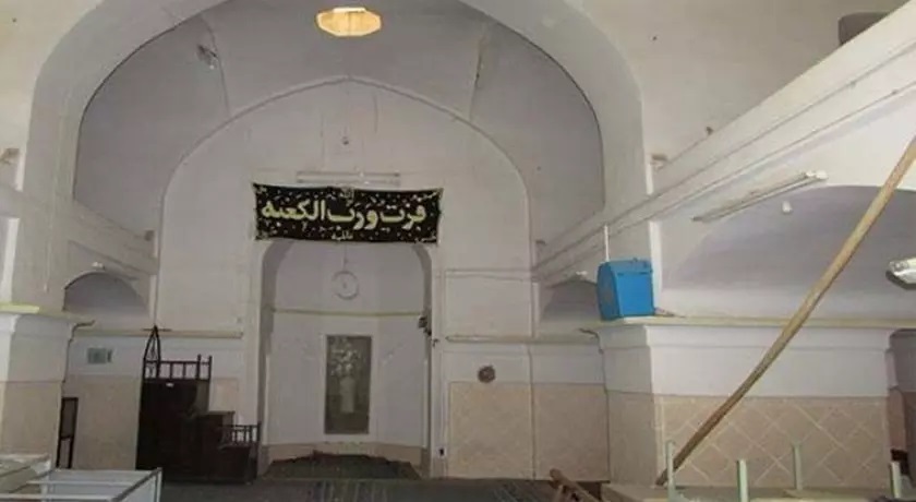
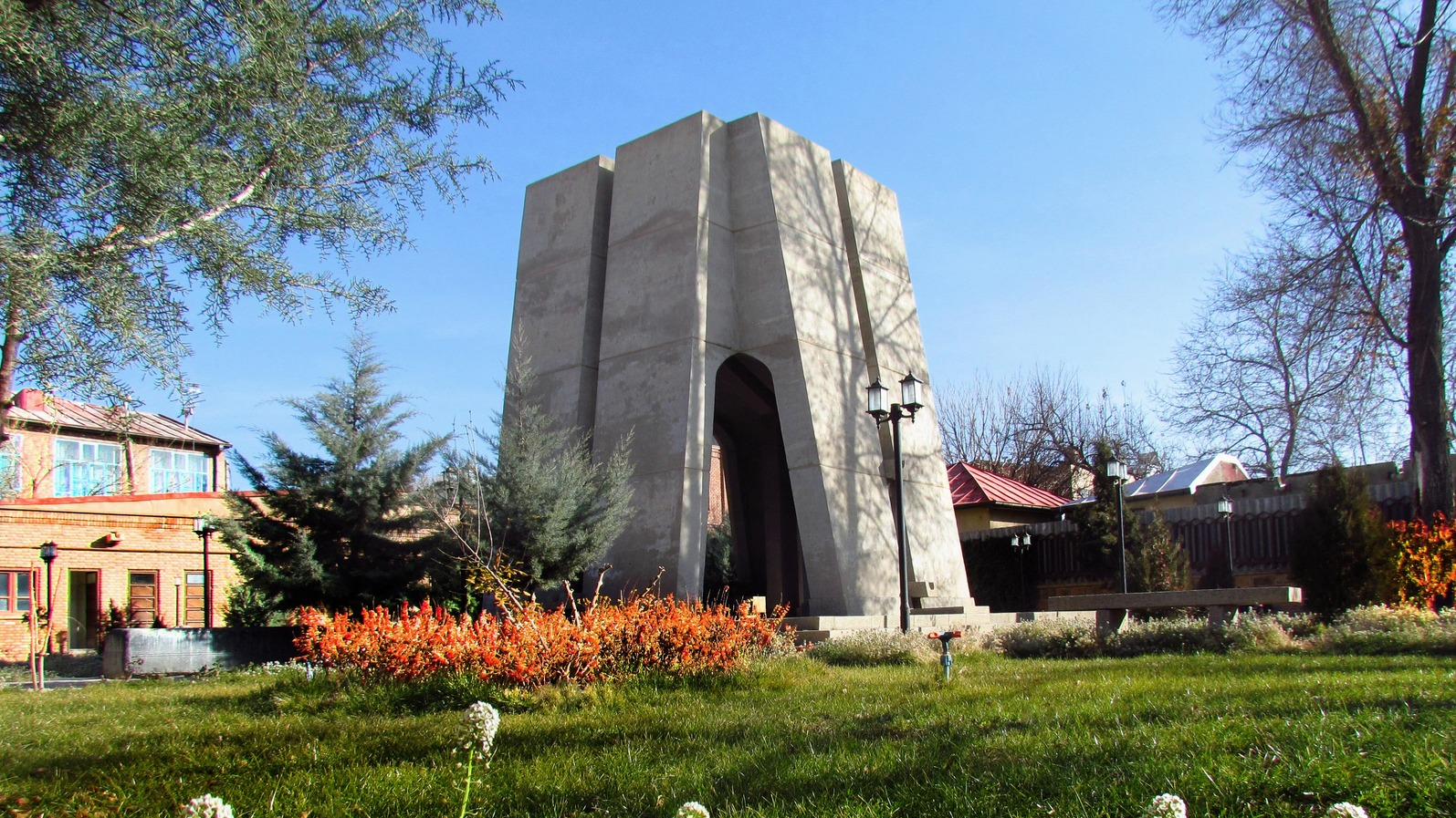
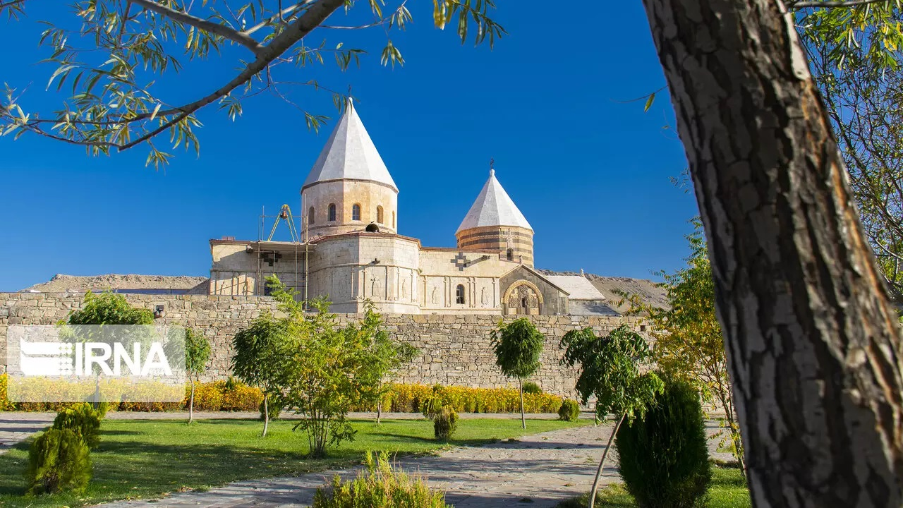
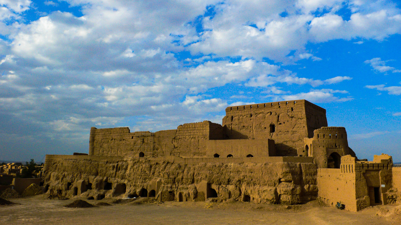
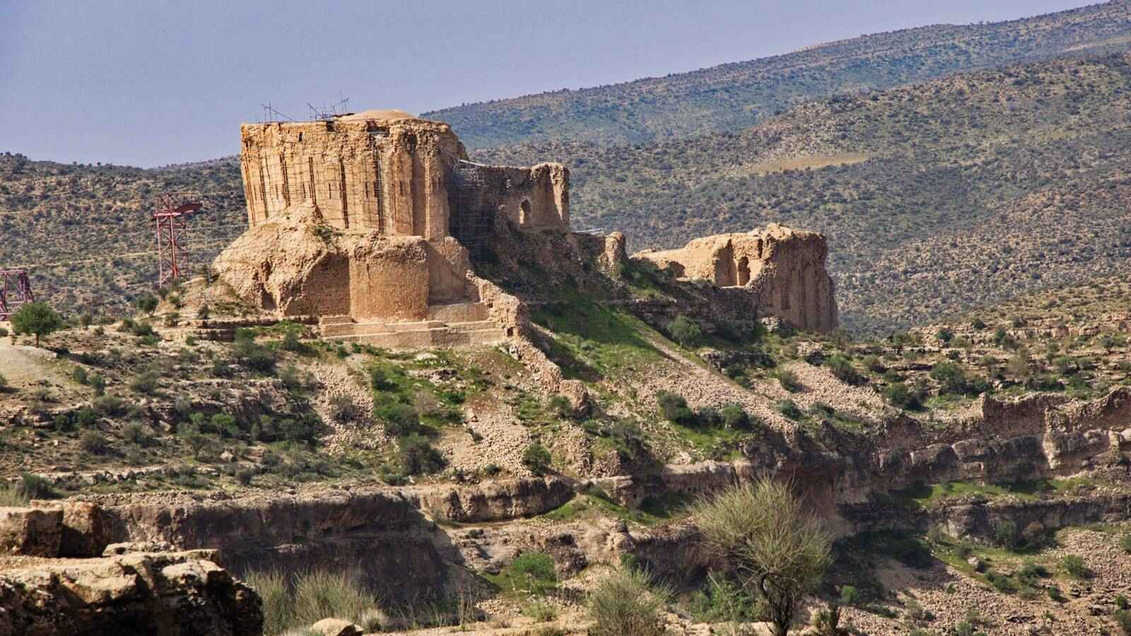
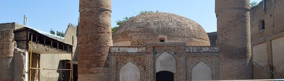
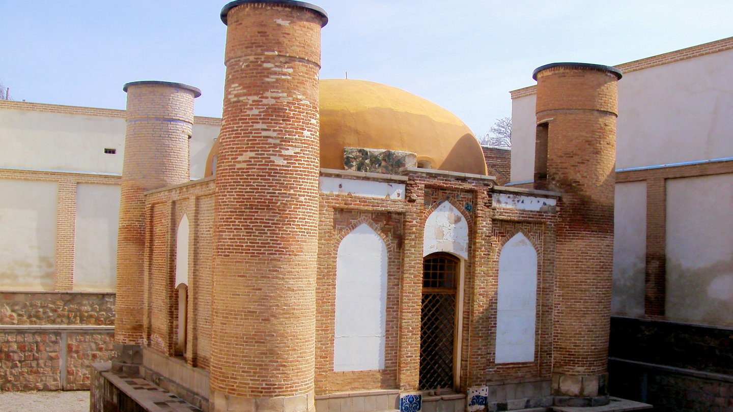
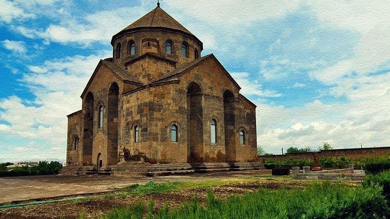
The Chahar Menar Mosque and MausoleumThe Chahar Menar Mosque and Mausoleum, also known as Imamzadeh Chahar Menar, is considered the symbol of the Chahar Menar neighborhood. Among those buried in this historical complex are Ali ibn Mojahid, the grandson of Zayd ibn Ali and a descendant of Imam Sajjad, the fourth Shia Imam; two Rawadid rulers (Amir Wahsudan and Amir Mamlān); one Seljuk sultan (Mahmud II); and six Aq Qoyunlu rulers — Uzun Hasan, Sultan Yaqub, Sultan Baysunghur, Sultan Rustam, Sultan Ahmad Guda, and Sultan Muhammadi. In the past, there were small rooms on the northern side of the structure containing three graves placed side by side, known locally as “Se Alamdar” (“the three standard-bearers”). Because of the tombs of Ali ibn Mojahid and these three Alamdar, the place also became known as “Chahar Ghabr” (“the four graves”).
It is said that the reason two Rawadid kings were buried in this mausoleum is their deep affection for the descendants of the Prophet of Islam. The Rawadids were a dynasty of Arab-Kurdish origin who ruled from 955 to 1071 CE over territories that today include parts of Iranian Azerbaijan, the Republic of Azerbaijan, Armenia, and Turkey. Their main seats of power were the cities of Tabriz and Maragheh.
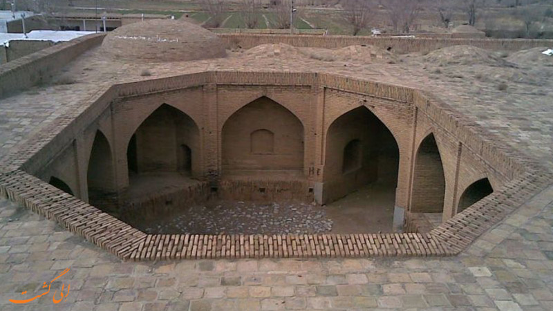
From a historical perspective, the original structure of this mosque is estimated to be about 700 years old. Due to its proximity to the Mirza Abolhasan Caravanserai, the building has received considerable attention and has undergone several restoration efforts. The mausoleum is constructed of brick, featuring both minarets and a brick dome known as the “Dome of Amir Mola.” Inside the mausoleum—just as it appears from the outside—there is little decorative work. However, remnants of tilework can be seen in various sections, likely added during later periods. A tall wooden door forms the main entrance to the structure. The interior lighting is provided by several small windows built around the lower part of the dome. Additionally, there are niches and windows in the walls. During the most recent restoration project, carried out in 2020 CE (1399 AH), the building’s structural stability was reinforced, and improvements were made to its interior decorations.
National Registration of the Chahar Menar Mosque, TabrizThis monument was inscribed on the National Heritage List of Iran in 2006.
| Name | Chahar Menar: The Lesser-Known Neighborhood of Tabriz |
| Country | Iran |
| State | East Azerbaijan |
| City | Tabriz |
| Type | Historical |
Choose blindless
Red blindless Green blindless Blue blindless Red hard to see Green hard to see Blue hard to see Monochrome Special MonochromeFont size change:
Change word spacing:
Change line height:
Change mouse type: